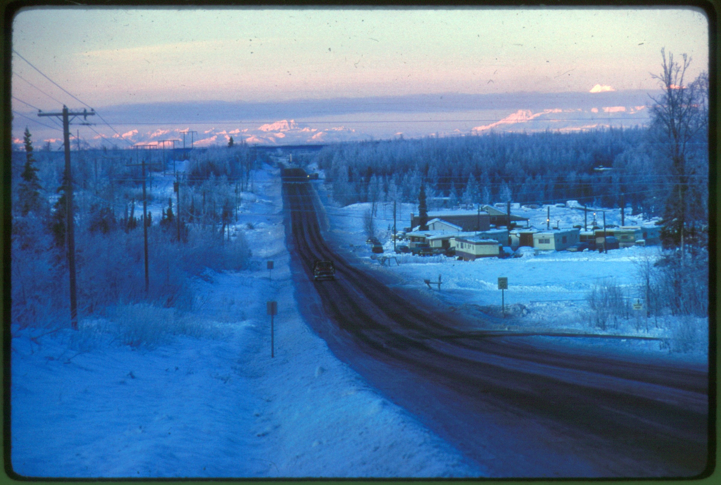
| 1 — | [Dec 65p Winter Anchorage scene, undefined road heading into distance towards
apparent Chugach Mountains. Some housing development in foreground] |
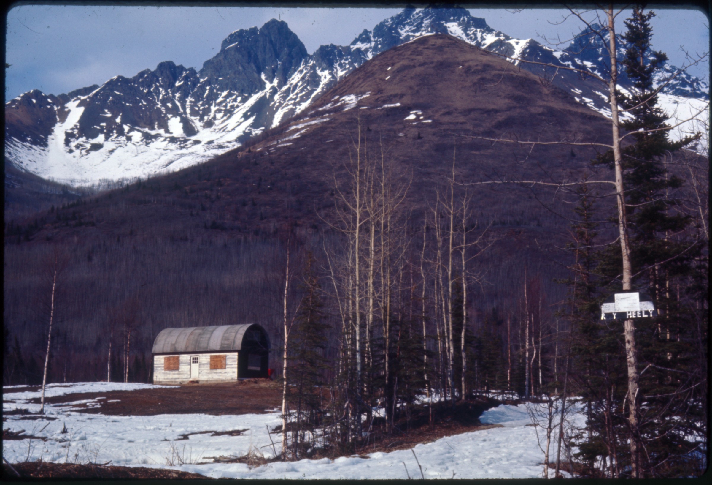
| 2 — | [Apr 66 p5 Quonset-type bldg. Eklutna Valley]
|
| | 3 — | [Aug 67p1 Aerial of downtown Anchorage, looking N. to Ship Creek. Late Summer
afternoon (?)] |
| | 4 — | [Aug 69p2 Slide labeled ‘Blueberry Lake, Sand Lake area’] |
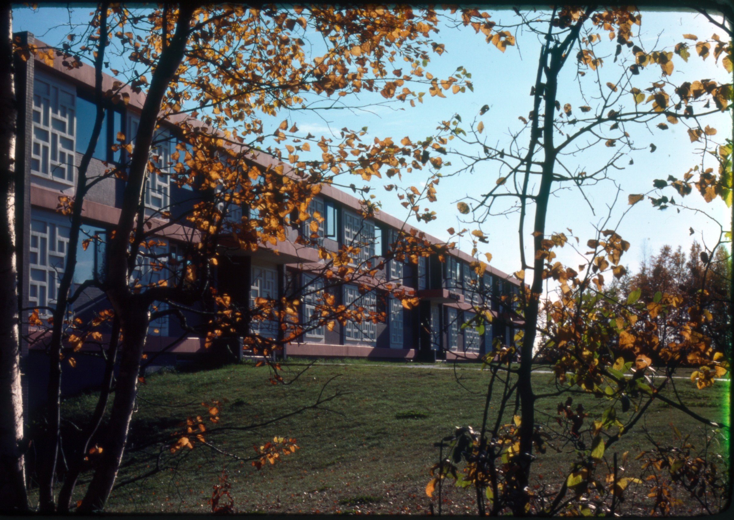
| 5 — | [Mar 70p5 Undefined development/land clearing, perhaps lower hillside] |
| | 6 — | [Aug 70p1 Aerial, Summer day, looking SW. Good slide] |
| | 7 — | .13 – [Jan 72 p5 Structures at Anchorage port] |
| | 14 — | .16 – [Jan 72 p7-p8 Anchorage Utilities building at 415 F St.; Anchorage telephone
exchange building] |
| | 17 — | .20 – [Jan 72 p8 Winter at Merrill Field, planes and facilities] |
| | 21 — | .32 – [Jan 72p8 Indoor plants at unidentified greenhouse] |
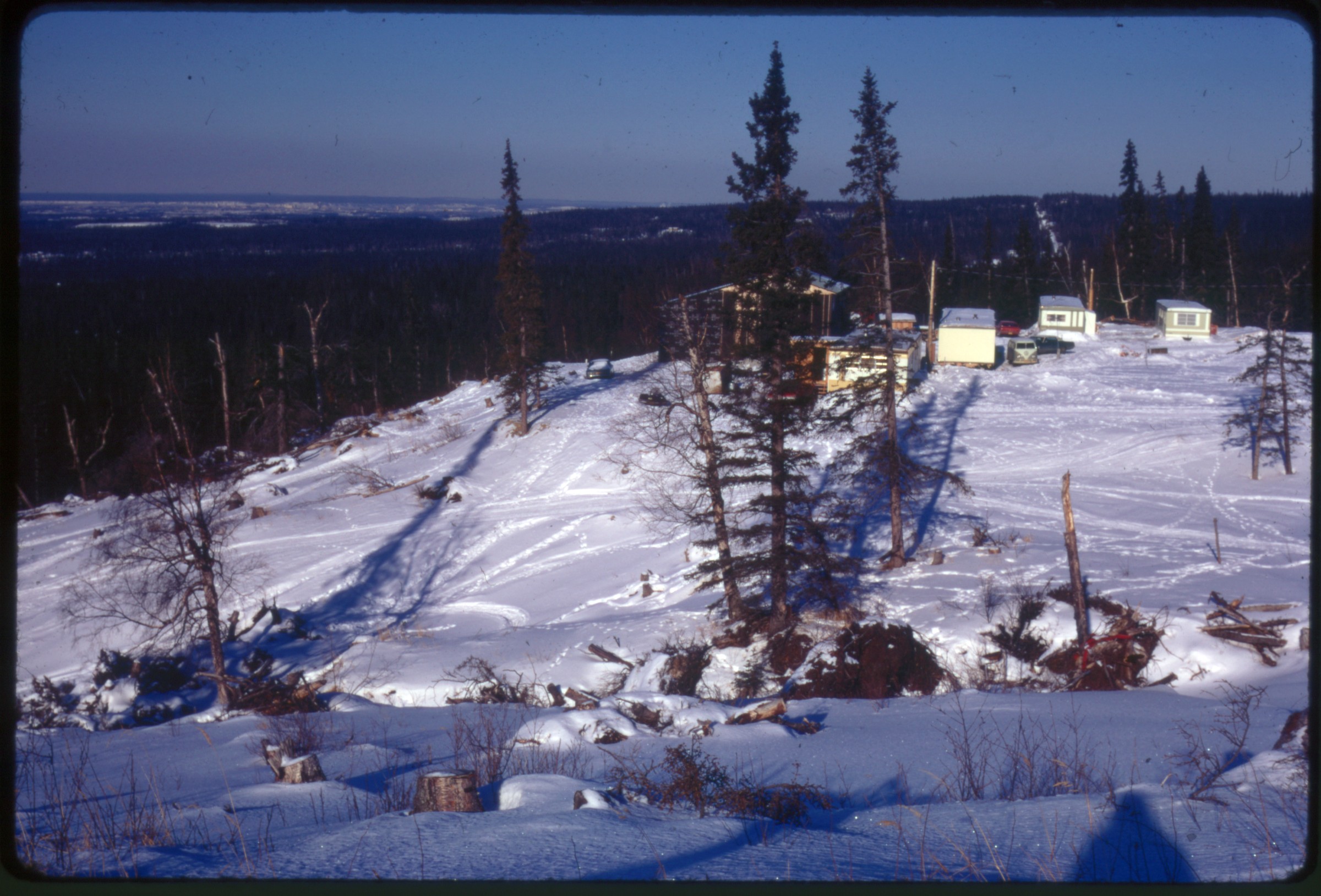
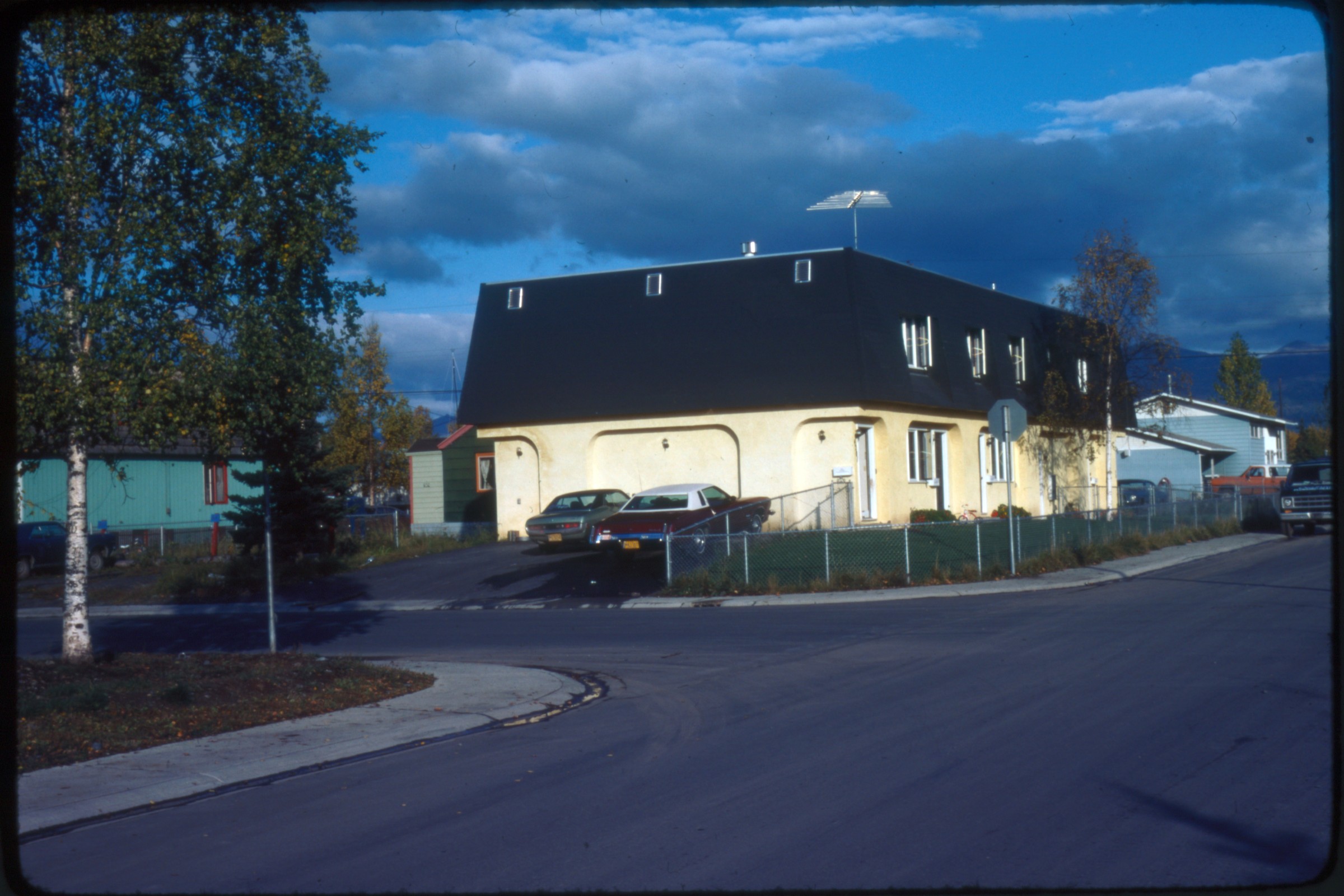
| 33 — | [Feb 72p3 Outdoor winter scene from hillside looking NW towards Anchorage in
distance. Trailers and structures in foreground] |
| | 34 — | .36 – [Feb 72p6 Merrill Field. Three different planes taking off. Numbers visible on planes] |
| | 37 — | .43 – [Feb 72p7 Merrill Field winter. Planes and snowplow operations] |
| | 44 — | .45 – [Jun 72p8 Two scenes of Bentzen Lake from shore] |
| | 46 — | [Jul 72p4 Campbell Creek flowing, undefined location] |
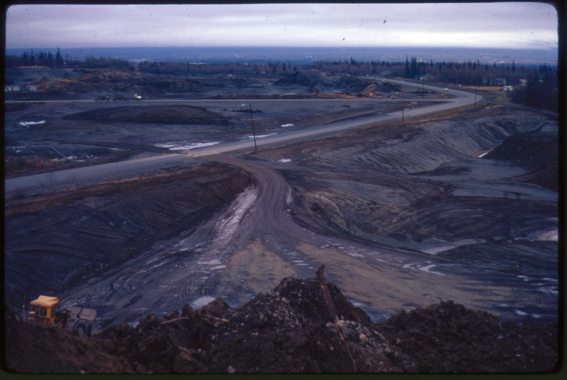
| 47 — | [Oct 72p6 Road construction. Active gravel pit operation. South Anchorage?; in 2014,
identified as Dimond Boulevard at Sand Lake Road looking east] |
| 48 — | [similar to .47] |
| | 49 — | .57 – [May 73p8 Downtown aerials. Jim Steed Code JS-V2. Aerials of downtown
Anchorage. 2 slides of Ship Creek. Jim Steed photographer. Fair quality] |
| | 58 — | .72 – [Downtown aerials 1973. Jim Steed city aerials code J5-V3. Aerials of downtown
anchorage. 4 slides of Ship Creek. Jim Steed photographer. Plastic mounts not date stamped.
Fair quality] |
| | 73 — | .77 – [Jul 73p7 Little Campbell Lake. Open space scenes of Anchorage hillside, lake,
mudflats of Turnagain Arm] |
| | 78 — | .88 – [Aug 73p1 Chester Creek (labeled) and environs; roads, open space unidentified] |
| | 89 — | .98 – [Aug 73p4 Little Campbell Creek, Little Rabbit Creek. General open space around
creeks, and Rabbit Valley (identified on two slides); environs] |
| 94 — | [view down paved road, valley in distance; in 2014, tentatively identified as
Hillside or Rabbit Creek Road looking at Bear Valley] |
| | 99 — | .128 – [Aug 73p4 DeArmoun. Unidentified open space, road construction, gravel pits, early
road development in lower Hillside (?) area. One slide labeled ‘DeArmond’. Flattop Mountain
in background of some] |
| 113 — | [dense woods around small body of water, mountain in distance; in 2014,
tentatively identified as Hidden Lake on the hillside] |
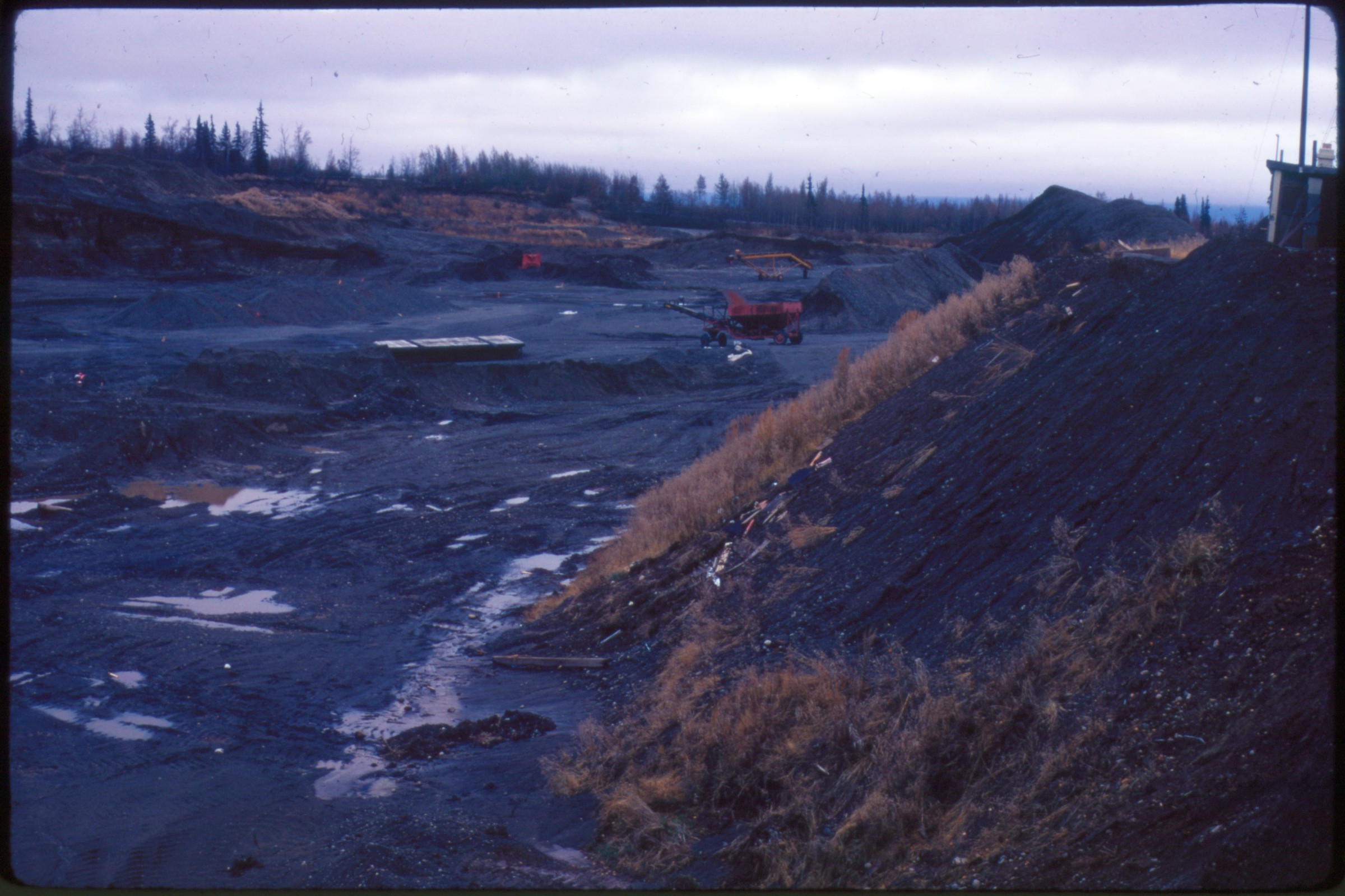
| 118 — | [bird’s eye view of construction equipment on paved road, Chugach Mountains
in distance; in 2014, tentatively identified as Sand Lake area, looking southeast] |
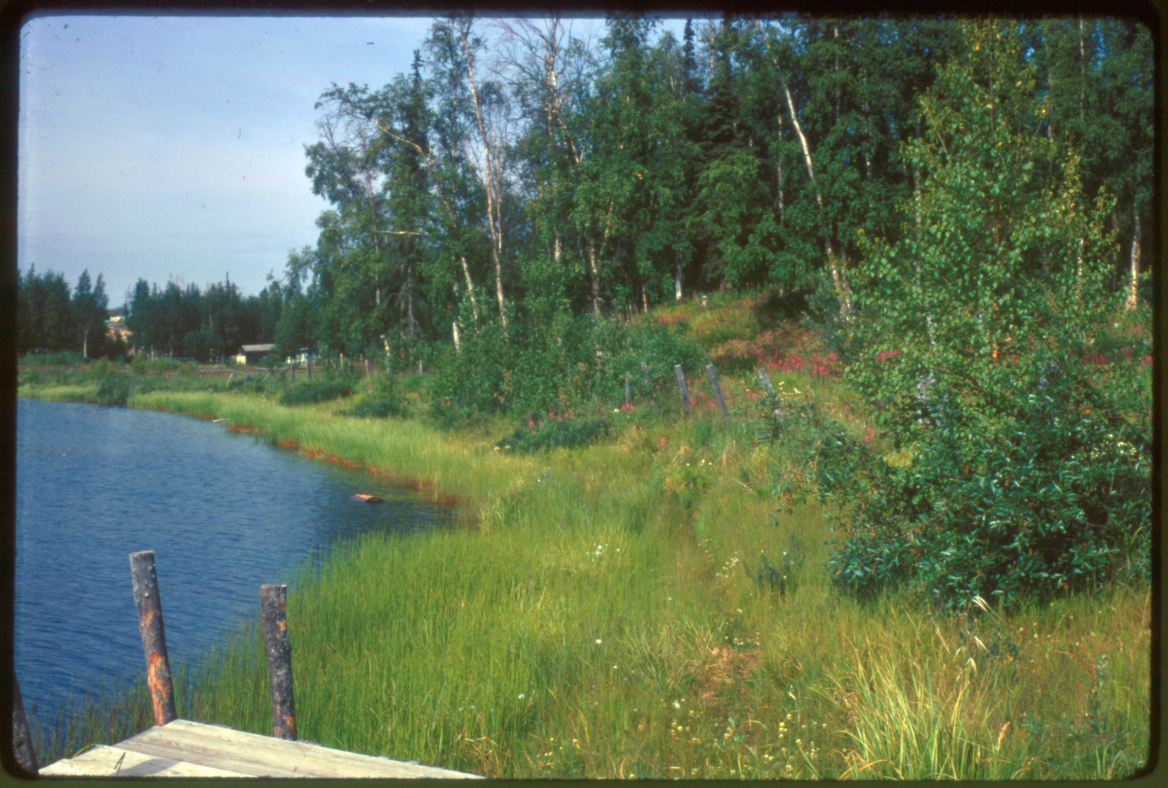
| 128 — | [trees, grass, and fireweed along shore of small body of water, dock in
foreground; in 2014, tentatively identified as Little Campbell Lake] |
| | 129 — | .136 – [Aug 73p9 BiLo, Boys Liquor, Southcenter. Early development of Southcenter Mall;
other commercial development and environs; Anchorage building unidentified] |
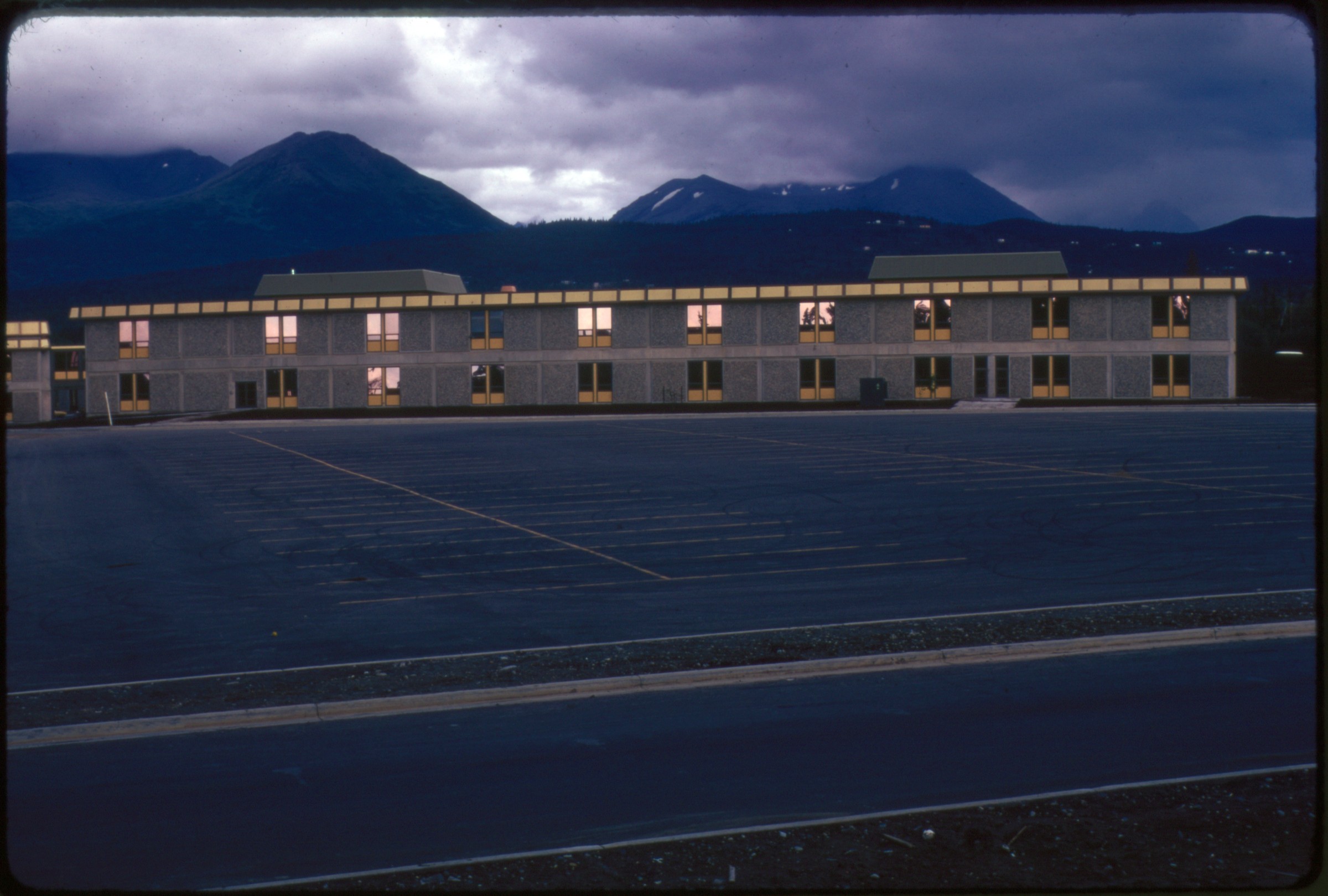
| 132 — | [parking lot in front of large building, Chugach Mountains in background; in
2014, identified as Service High School]
|
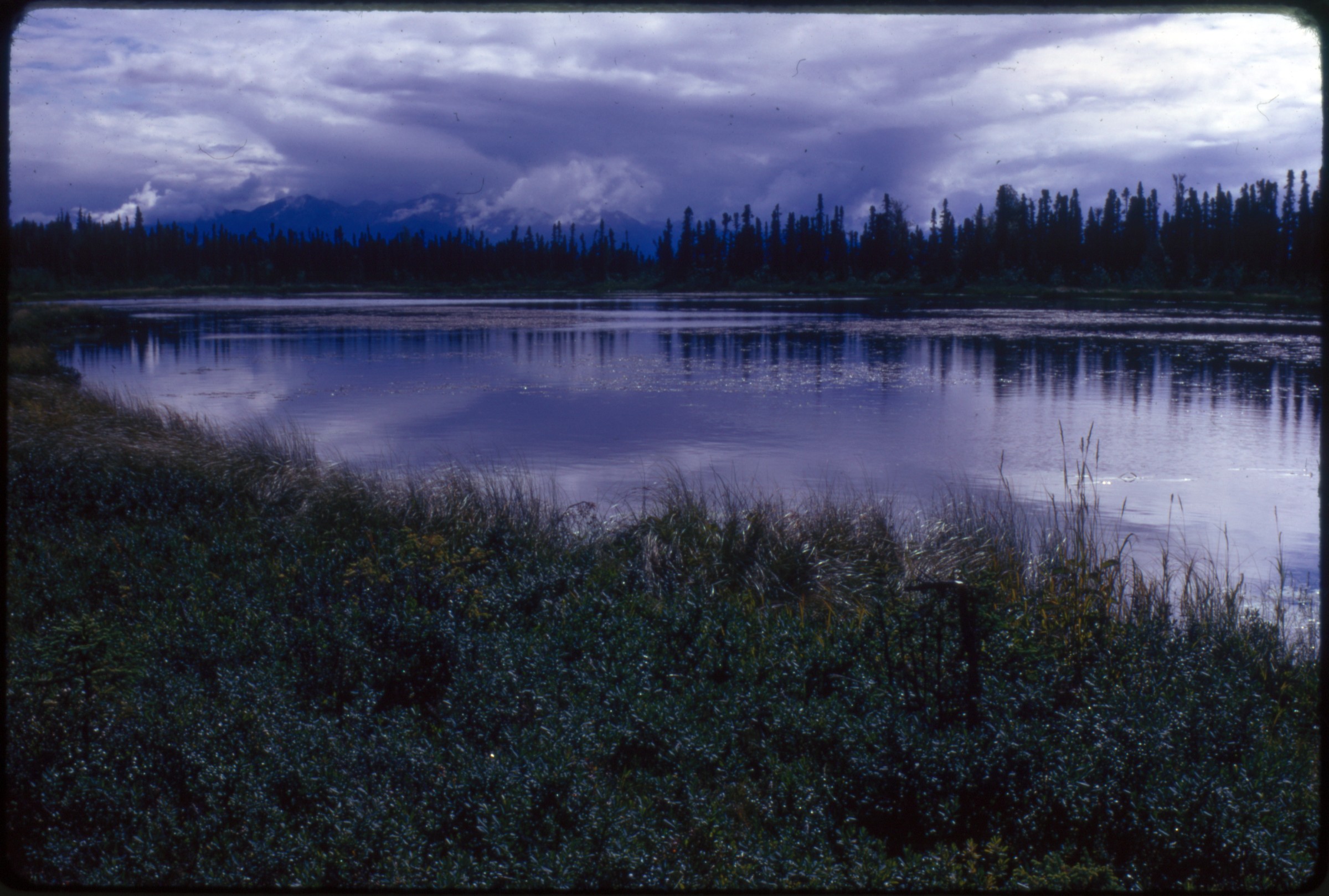
| 133 — | [lake in foreground, Chugach Mountains in background; in 2015, identified as
Campbell Lake] |
| 137 — | [Jan 74p7 Undefined winter daylight on small frozen lake. Mountain in background
could probably be identified. No development; in 2014, identified as Chester Creek east of
Muldoon Road] |
| | 138 — | .141 – [April 74p3 Breakup at housing complex. Utility work with frozen breakup in
modest unidentified housing development, trailer park. Probably city utility work] |
| | 142 — | .146 – [June 75p9 Planting park strip rose garden. Centennial Rose Garden planting, city
workers and young adults (volunteers?). Easily locatable. Houses in background overlooking
inlet] |
| 147 — | [Jul 75p5 Bike overpass. Unfinished concrete supports for future bike overpass. Road
not identified; in 2014, identified as pedestrian overpass on Northern Lights at Goose Lake
looking northwest] |
| | 148 — | .158 – [Aug 75p7 Emergency services. Tudor Fire station pictures. Medical service
ambulance and fire trucks; probably field exercises training with ‘patients’ on stretchers, and
medical staff] |
| | 159 — | .161 – [Aug 75p3, p7, p8 GAAB. ‘Greater Anchorage Area Borough’ building (on Tudor?);
Goose Lake (?)] |
| | 162 — | .163 – [Aug 75p3 Jewel Lake. Person floating on small raft on lake. Slide labeled Jewel
Lake. Little development.] |
| 164 — | .172 – [Sept 75p1 Miscellaneous housing and commercial development in same
unidentified area, perhaps midtown; Anchorage Borough School District building; a new
school building unidentified] |
| 167 — | [bird’s eye view from utility pole down street to Chugach Mountains, apartment
complex at right; in 2014, identified as Northern Lights east of Boniface looking east] |
| 168 — | [automobiles including Volkswagen Beetle and truck with cap parked outside
apartment buildings; in 2014; identified as near Baxter Road and Jerde Circle] |
| 169 — | [view down residential street, street signs at left for Baxter and E. 31
st
Street] |
| 172 — | [view across road to two-story building; in 2014, identified as East High School] |
| 173 — | [Sep 75p3 Open scenery showing distant residential development, probably upper
hillside] |
| 174 — | .196 – [Sep 75p4 Several new and established developments of Anchorage. Identifiable
by business names (Standard gas station, Brewsters’, Amfac Supply, etc.); small boat harbor,
view over inlet from Ship Creek and an aging totem pole] |
| 174 — | [Volkswagen Beetle parked outside of school, students standing in line at
entrance; in 2014, identified as King Career Center] |
| 177 — | [small business building with corner entrance; in 2014, identified as veterinary
cli nic at Bragaw Street and Reka Drive, possibly 1731 Bragaw] |
| 178 — | [automobiles parked on street outside business; in 2014, identified as near
Bragaw and Reka, possibly Murray Kraft & Rockey advertising agency] |
| 179 — | [view down unpaved street, buildings on left and right, Chugach Mountains in
background] |
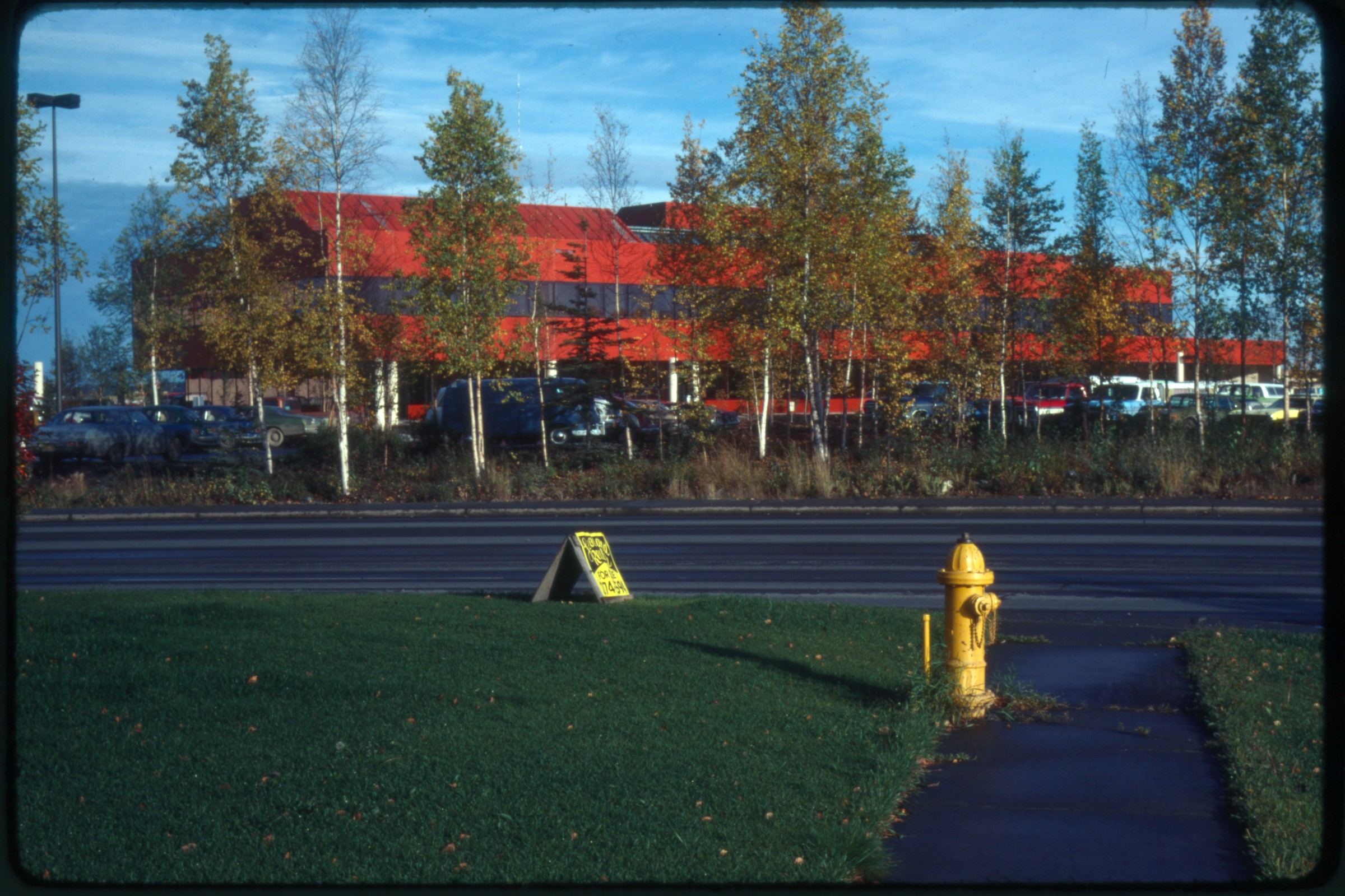
| 180 — | [large red building behind birch trees, fire hydrant and road in foreground; in
2014, identified as area of Fireweed and Arctic Boulevard]
|
| 185 — | [automobiles in parking lot in front of two apartment buildings; in 2014,
identified as Hollywood Vista on Government Hill] |
| 187 — | [bird’s eye view of industrial area; in 2014, identified as near Commercial Drive
and Reeve Boulevard looking towards Government Hill, with water tower and Alascom
tower in distance] |
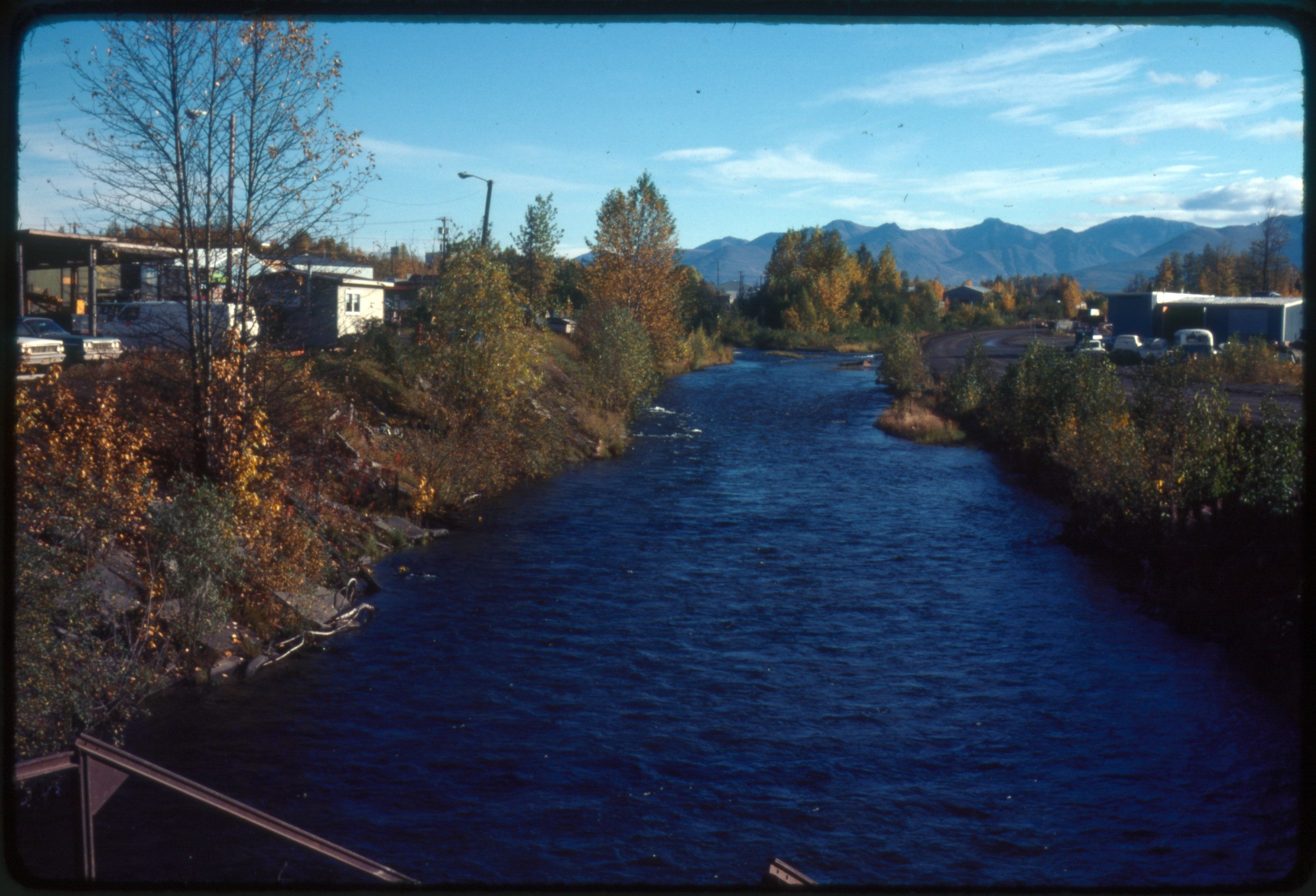
| 188 — | [view up creek, with buildings on both sides, metal platform in foreground,
mountains in distance; in 2015, identified as Ship Creek, with Whitney Road at left] |
| 195 — | [view from bluff across Cook Inlet, with docks at left, totem pole in foreground;
in 2015, identified as privately owned totem pole on Government Hill, with Captain
Jack Anderson’s docks at left] |
| 196 — | [buildings along Cook Inlet, with docks at left, industrial equipment at right; in
2014, identified as Ship Creek cannery and Anchorage small boat harbor] |
| | 197 — | .213 – [Sep 75p5 Misc. public buildings, private businesses, strip malls, schools (Alaska
National Bank of the North; Bi-Lo; Hal Graser Realty; BP; Uncle’s; Chugach School; Woodside
Village Apartments; etc)., housing development. Most can be field located. One slide writing
label ‘Pete Martin’ (photographer?)] |
| 206 — | [two automobiles parked on street in front of apartment complex; in 2014,
identified as Hollywood Vista apartments] |
| 209 — | [automobiles parked outside of large Quonset hut-like warehouse; in 2014,
identified as Capital Glass near Cal Worthington Ford, 1820 Gambell Street]
B1/B2 |
| 214 — | .269 – [Sep 75p6 Similar to Sep 75p5; numerous businesses, health care facilities, and
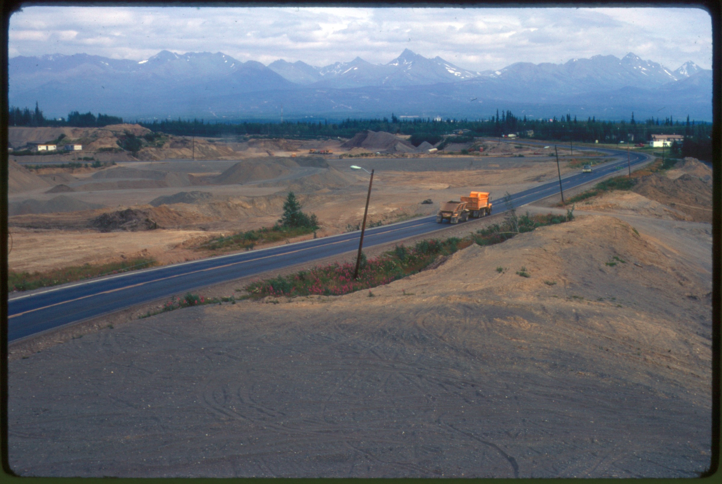
strip malls (ABC #3 Auto Wrecking, Showcase VII Distrs./Lanco Ltd., Granada Lounge, First
Federal Savings, Pancho Villa Mexican Restaurant, Candle Inn, McDonalds, Carrs, Waterbed
World, Crescent Body Shop, Grocery Boys, Vezina Furniture, Proctors Grocery, Sandwich
Factory, West Side City, Gary’s Truck Sales, Anchorage Baptist Temple, etc.); housing
developments, trailer parks. Generally shows commercial development, apparently in
different parts of Anchorage. Late summer, Fall colors. Apparently 3 rolls of film with Sep 75p6
stamp date, so duplicate slide numbers] |
| 214 — | [grassy lawn and fall foliage with building in distance; in 2014, identified as
Alaska Methodist University Gould Hall] |
| 216 — | [landscaping in parking area near commercial buildings; in 2014, tentatively
identified as Tudor Business Park] |
| 228 — | [automobiles parked in unpaved lot, large puddle in foreground, buildings in
background; in 2014, identified as Anchorage Community College, with K Building at
left and security building, now Eugene Short Hall, at right] |
| 229 — | [manmade pond or quarry in foreground, fall foliage and buildings in
background, Chugach Mountains in distance; in 2014, tentatively identified as East
Lake or Reflection Lake near Boniface and Tudor Road] |
| 241 — | [intersection in residential area, with automobiles parked in driveway of flat-
roofed two-story house; in 2014, identified as Mountain View area] |
| 242 — | [white stucco apartment building with red roof; in 2014, tentatively identified as
Mountain View area, possibly Peterkin Street]
|
| 244 — | [sidewalk and chain-link fence outside of apartment complex; in 2014,
tentatively identified as Mountain View area, possibly Klevin Street] |
| 245 — | [trailer court; in 2014, identified as Forest Park trailer Court on Hillcrest Drive] |
| 250 — | [view down paved street in residential area; in 2014, tentatively identified as
College Gate or College Village] |
| 261 — | [automobile parked on street next to picket fence and apartment complex; in
2014, tentatively identified as Mountain View area] |
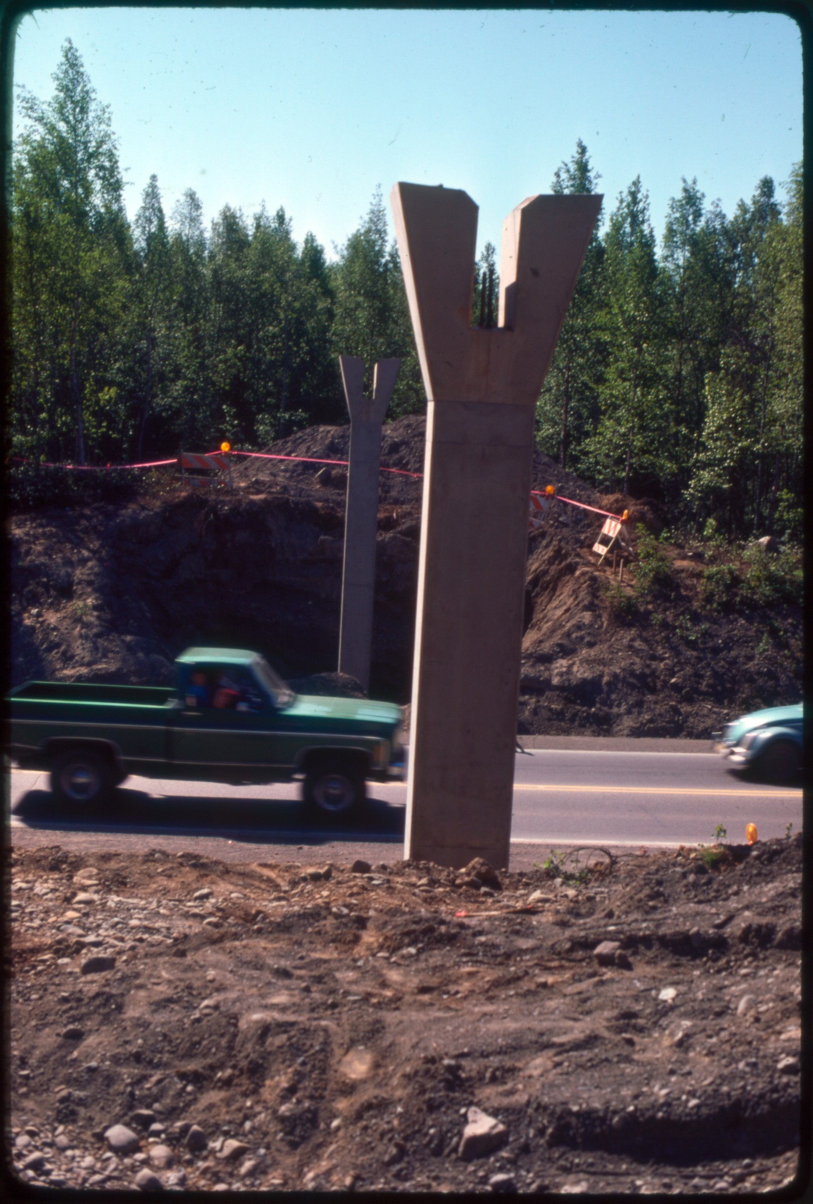
| 262 — | [small lake, building on far shore, Chugach Mountains in distance; in 2014,
tentatively identified as Wendy Jones Lake] |
| 265 — | [gravel operation near intersection of two roads, dump trucks on road; in 2014,
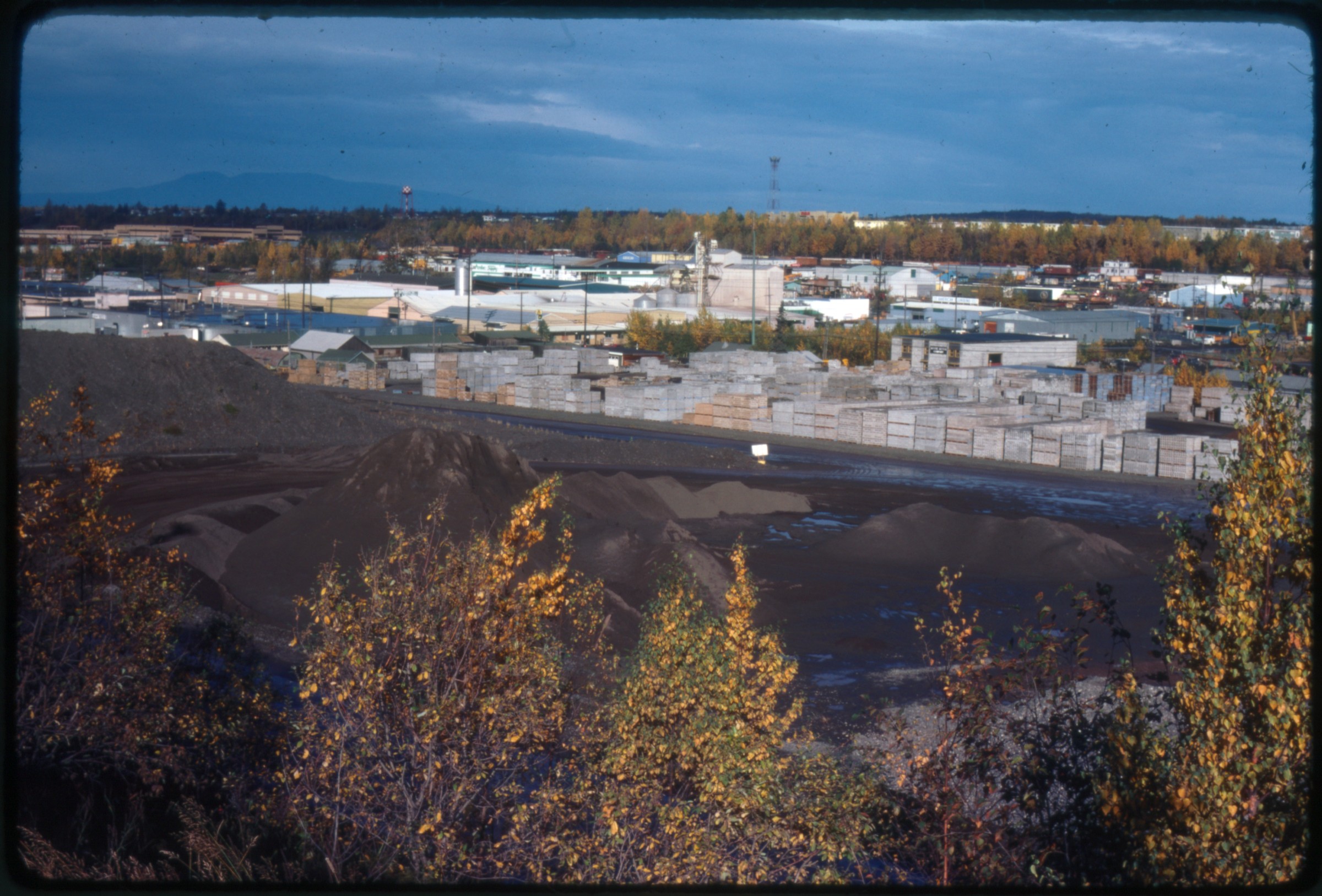
identified as Sand Lake and Dimond Boulevard] |
| 269 — | [view through fall foliage to building; in 2014, tentatively identified as Alaska
Methodist University Gould Hall] |
| | 270 — | [Jul 76p Gravel Pit lakes at AMU. Clear picture of apparently natural lakes, but must be
from gravel pit operations. Location may be field located. Pete Martin slide. Partial slide, end
of roll (?)] |
| | 271 — | .272 – [Oct 76H6 Tudor Road plaza. Strip mall businesses (Tudor Barber Shop, The Blue
Fox, Abbott Loop Flea Museum, etc.). Slides labeled ‘Tudor Road near Elmore’] |
| | 273 — | [Apr 77p5 Aerial Anchorage. Aerial, looking east toward Chugach, maybe from
downtown aroutn 10th and G (?). Late winter day.] |
| | 274 — | .280 – [Jun 77p2 Street striping. City street crew, mid-summer day. Slides of a ‘bone yard’
with misc. equipment, signs. Can’t tell exact location, but downtown buildings in background] |
| | 281 — | .289 – [Jun 77p16 Mulcahy. Welding and fence work at Mulcahy ball field stands.
Buildings of ‘Pilots Training Room’, ‘Home of the Glacier Pilots’] |
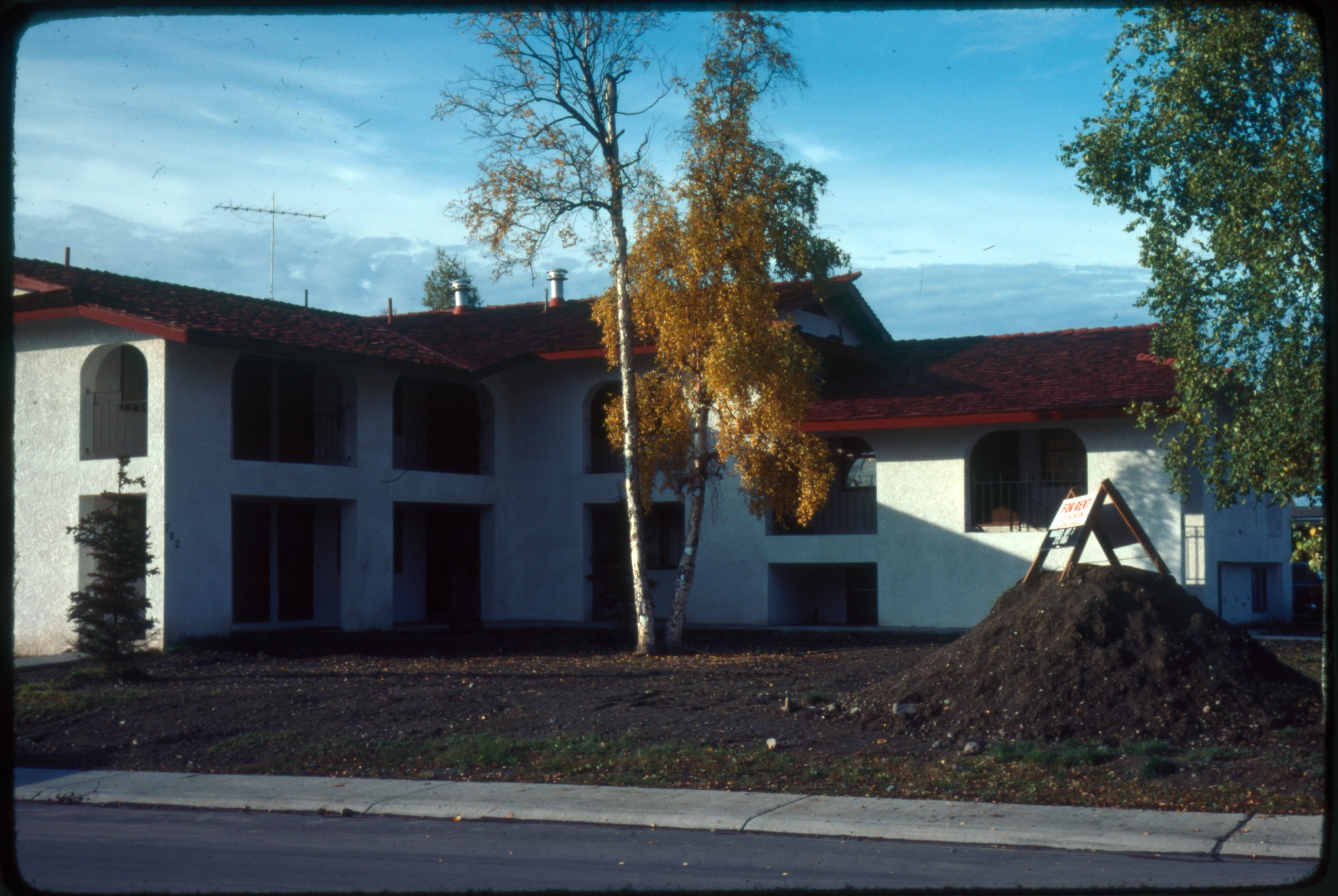
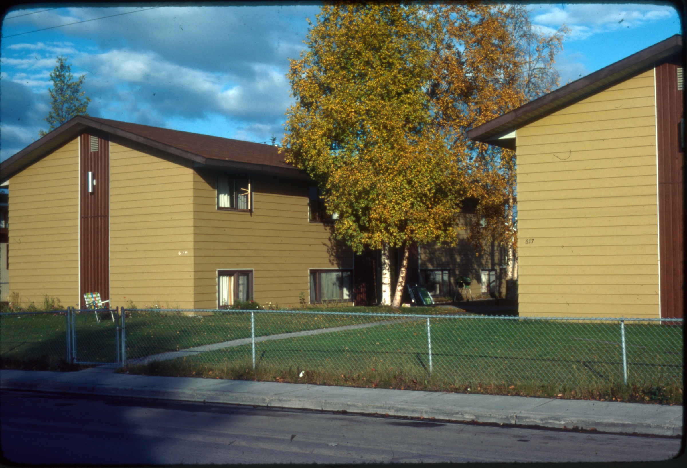
| | 290 — | .300 – [Jun 78p3 Aerials by Alissa Crandall. Photographer stamp for ‘Alissa Crandall’. All
slides well-labeled to place (recharge pond, Arctic Valley Road; Moose Run Golf Course; base
hospital housing; FAA; base hospital greenway; Air Force north south runway; Mountain View,
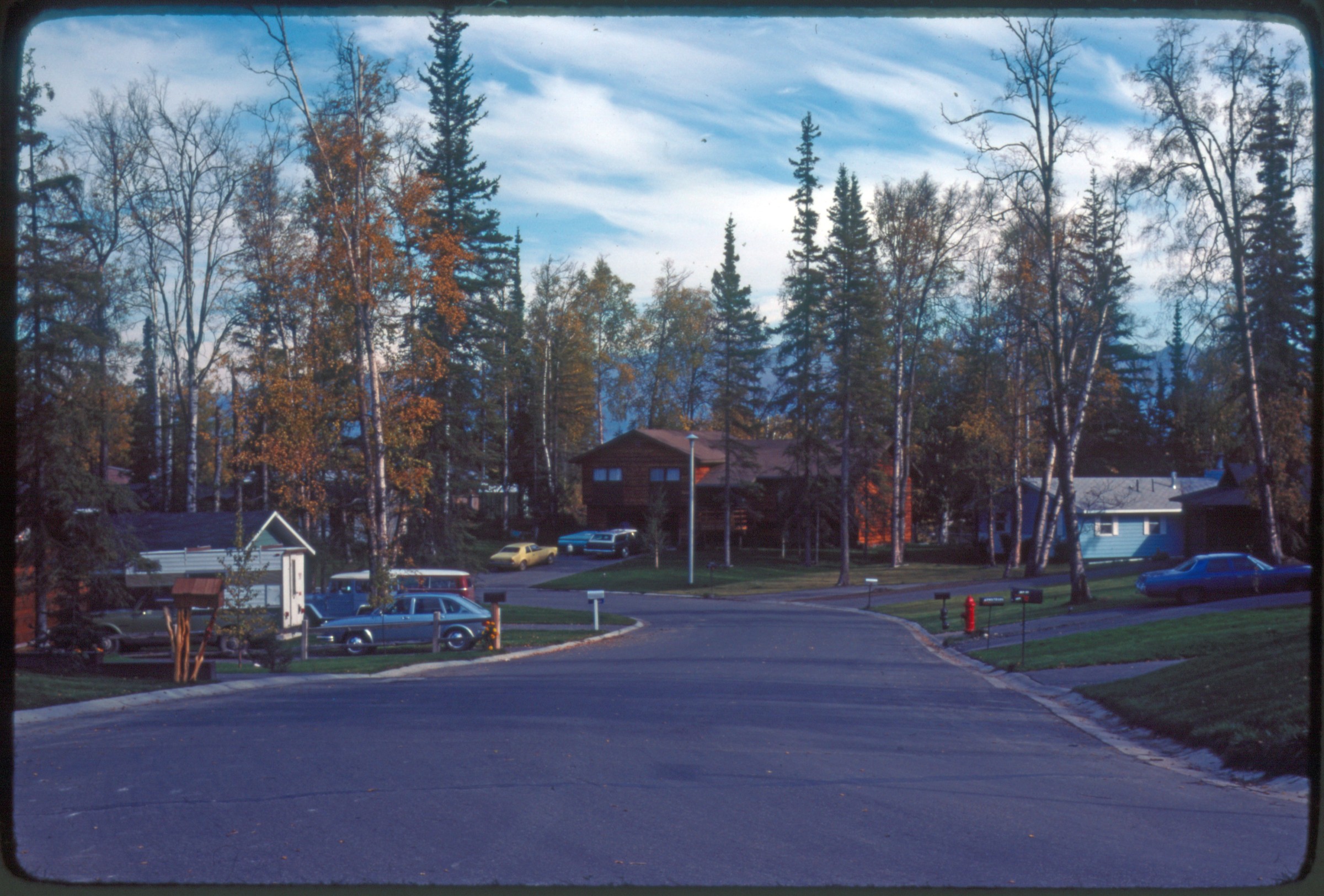
Cottonwood Park, etc.)] |
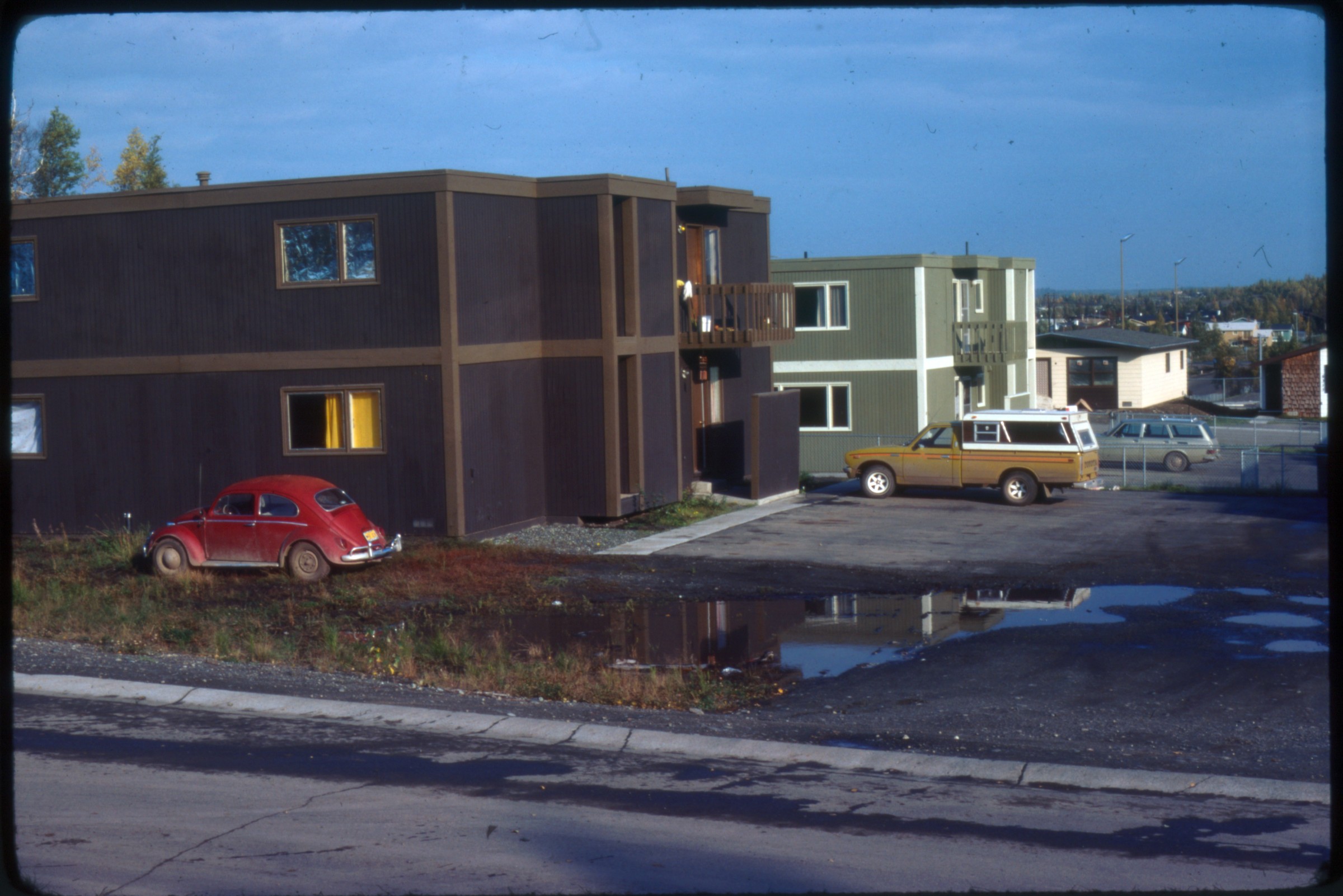
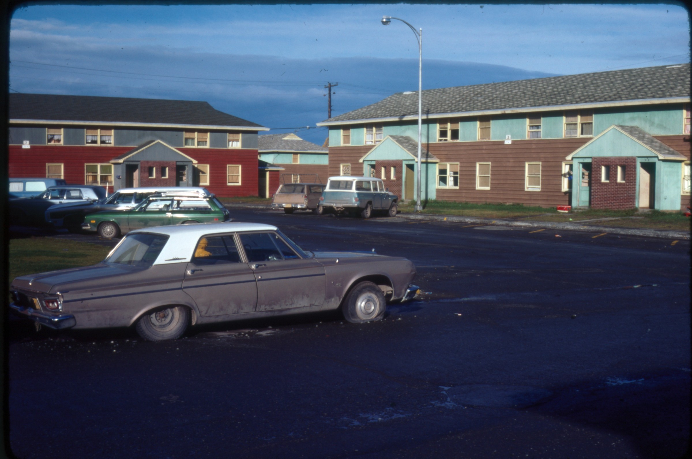
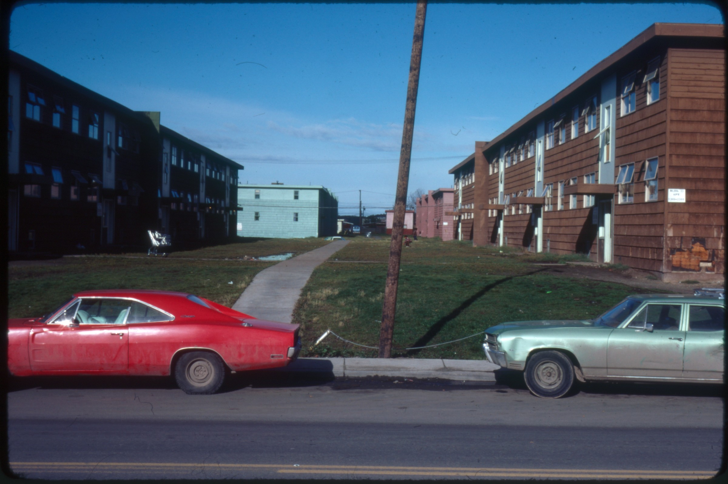
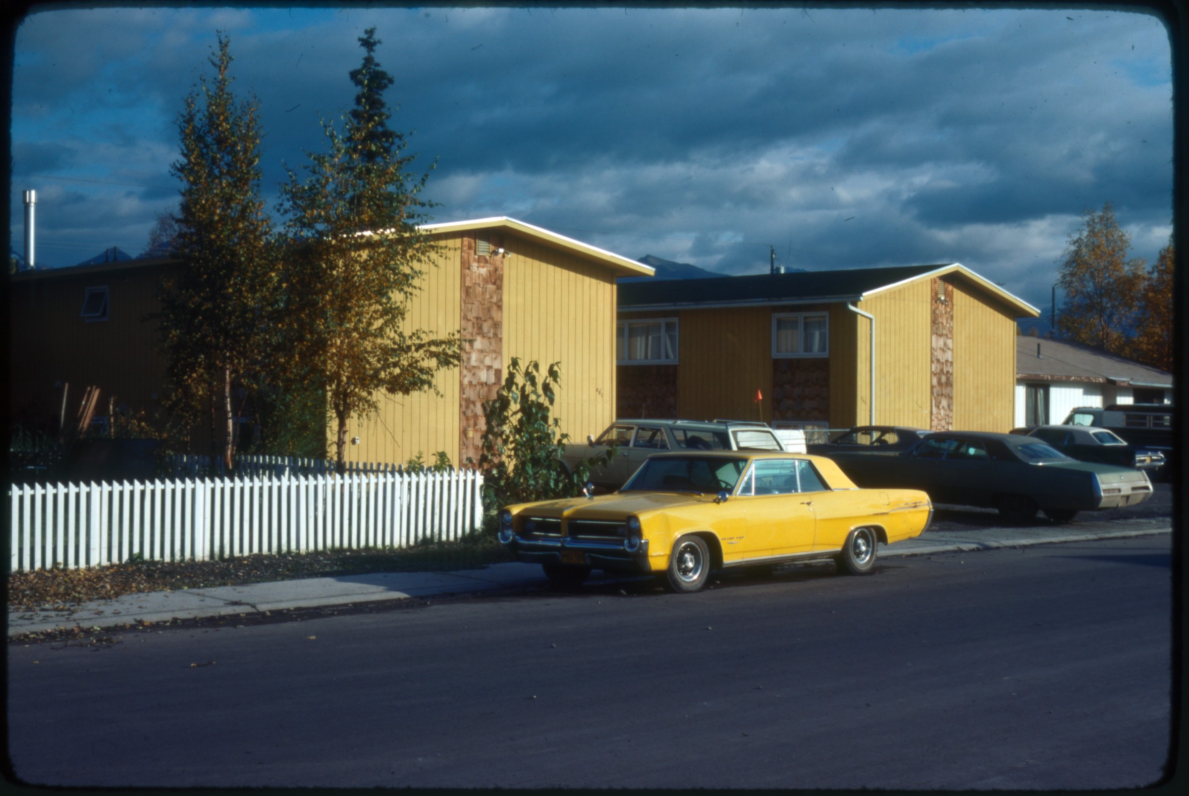
| | 301 — | .311 – [1979 Fur Rendezvous with ice sculpture. Dog mushing on Fourth Avenue,
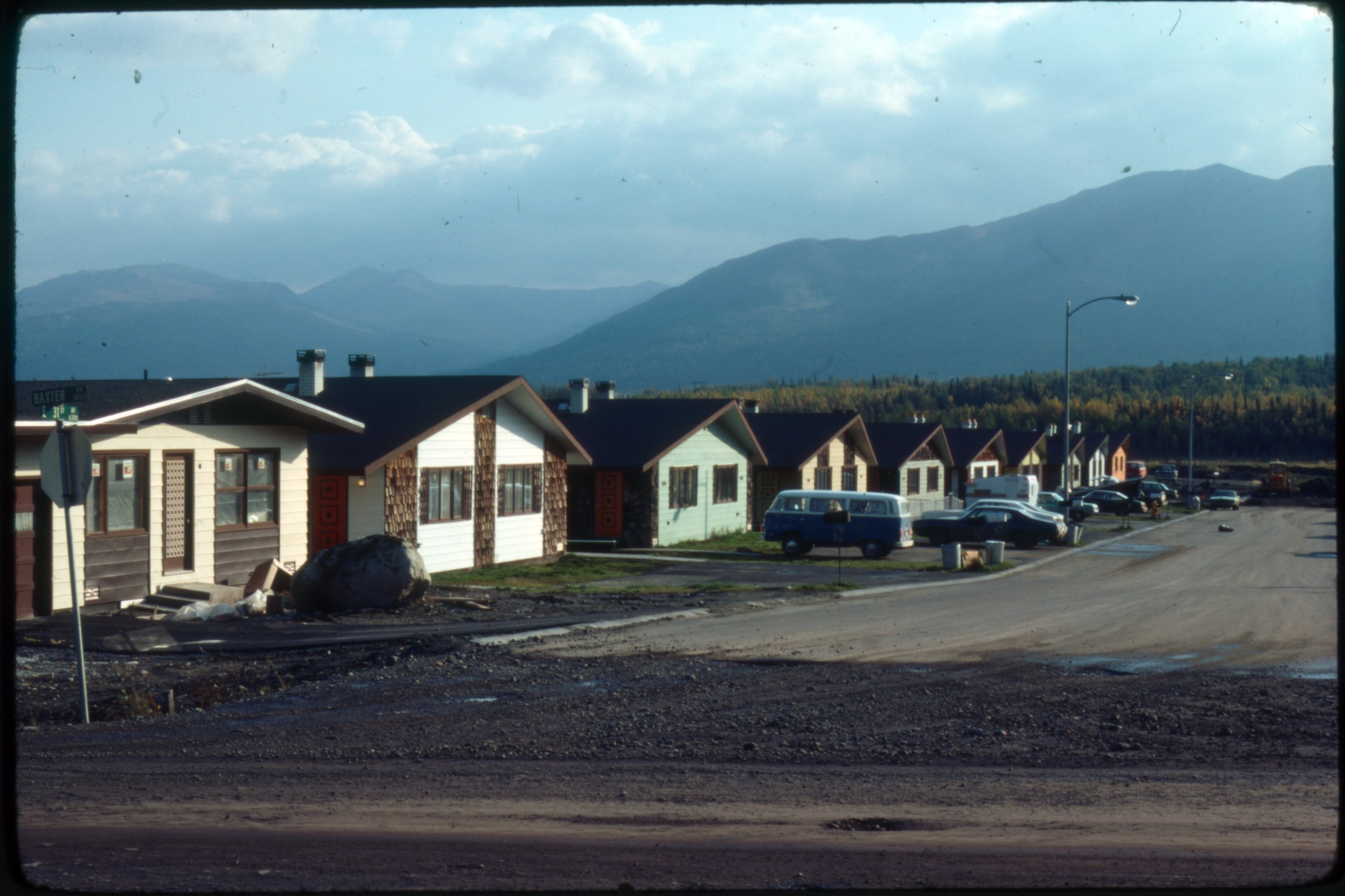
spectators, various ice sculptures, snowmachines. No confirmation visible in pictures for 1979
date, but written label on one slide says ‘dog races rendezvous 1979’] |
| | 312 — | .313 – [Jul 79 City hall parking lot mid-summer. Stamped ‘Municipality of Anchorage
Public Information Office’] |
| | 314 — | .315 – [Aug 79 New (?) downtown bus stop, probably on 6th with Captain Cook Hotel in
background. People waiting for bus. People Mover] |
| | 316 — | .320 – [Aug 79p10 Ice fields between Alyeska and Prince William Sound 7/79. Aerials. ‘Ice
fields near Portage’ label on one slide. No confirmation of ‘7/79’ date on divider label in
pictures. Could possibly be field located by someone with aerial experience of the ice fields] |
| | 321 — | .322 – [9/79 Slides labeled: ‘Downtown from Sheraton’, ‘IBEW building 9/79’] |
| 323 — | [Nov 79p16. ‘Historic house’ on label. A color slide duplicate; in 2014, location
identified as L Street between 7
th
and 8
th
Avenues] |
| | 324 — | .325 – [1979. ‘Port from Govt Hill 1979’, ‘Skyline from small boat harbor 1979’ are labels
on slides]
|
| | 326 — | .327 – [Jan 80p16 ‘People on benches’ (apparently new benches); ‘Kids at Chester Creek’
are labels on slides] |
| | 328 — | [4/19/83. Humana Hospital Emergency Room entrance from street. Stamped date on
slide] |
| | 329 — | .367 – [No print date. Iditarod start? or Fur Rendezvous. Mostly generic slides of dog
races and other Rendezvous activities in downtown Anchorage. Dogsled competitions
probably sprint races rather than Iditarod start. One slide of banner over street ‘Anchorage to
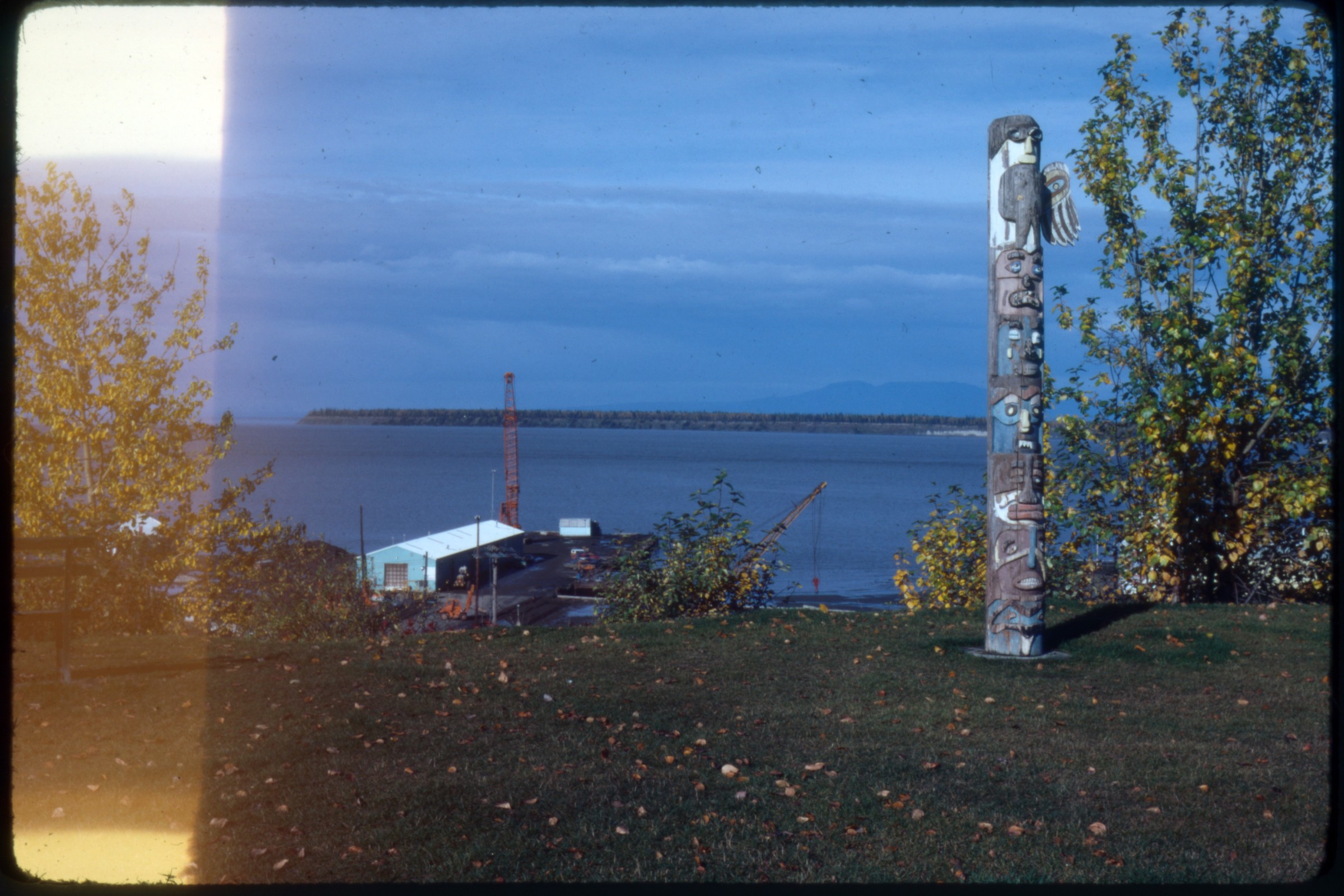
Nome – 1049 [Miles]’; one slide of probably Fur Rendezvous queen with tiara riding on hood
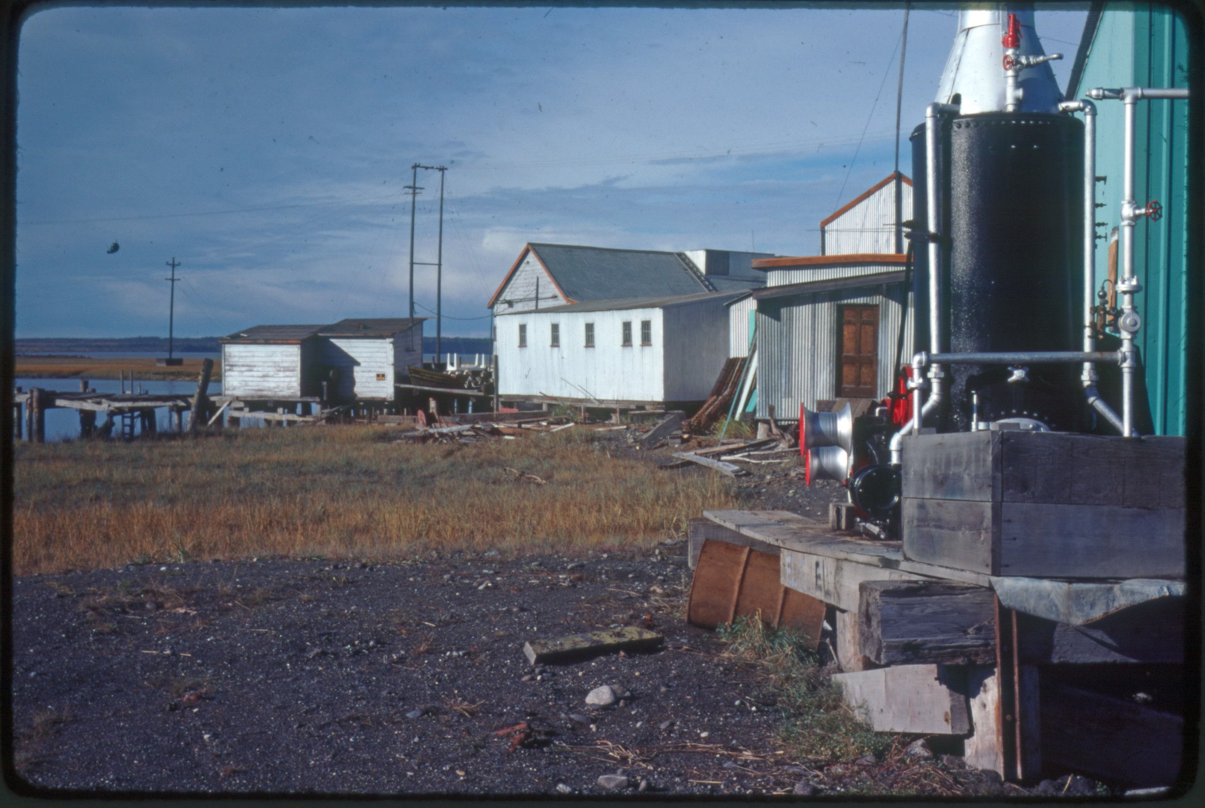
of car] |
| | 368 — | .411 – [No print date. General pictures of downtown buildings, some with an aerial
perspective (i.e., from tops of buildings); development around C & Diamond, Arctic,
Raspberry; MOA utility workers in action. Downtown Anchorage, including Holy Family
Cathedral and businesses. Most seem to be of late summer/early fall timeframe. Water and
sewer person conducting lab tests; 5 nice shots overlooking downtown in an ice storm]
B1/B3 |
| | 412 — | .413 – [No date. Probably 1986 addition to Anchorage Museum. ‘Museum expansion’
label on slides. Interior construction work] |
| | 414 — | .426 - [Port – no date. Port outside activities, probably mid-winter. Several labeled as if
from a presentation slide show (i.e., ‘Last pg – 5; pg. 2-L, etc.)] |
| | 427 — | .432 – [No date, residential. One labeled ‘Bieri House’ (not found in Carberry); one
labeled ‘Gill’ house, which may be Oscar Gill House (see p. 135 Carberry); both up on blocks to
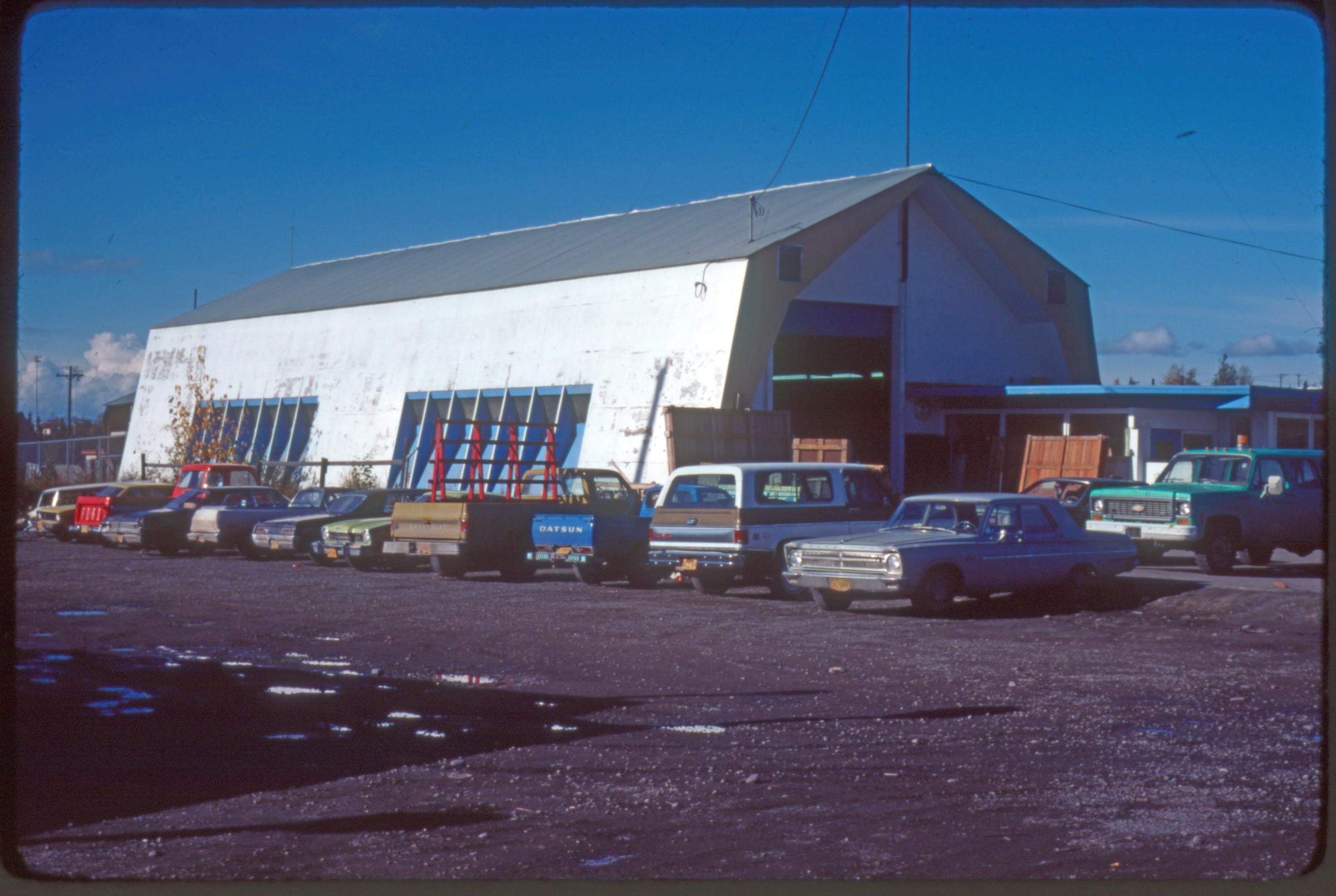
be moved. Other unidentified houses: 1 log, 1 stucco with garden (similar to The Martin House
in Carberry, p.34); etc.]
.429 – [log cabin; called “Bootlegger Cove Cabin” in Carberry, page 97] |
| 430 — | [woman gardening outside stucco house; in 2014, identified as K Street between
14
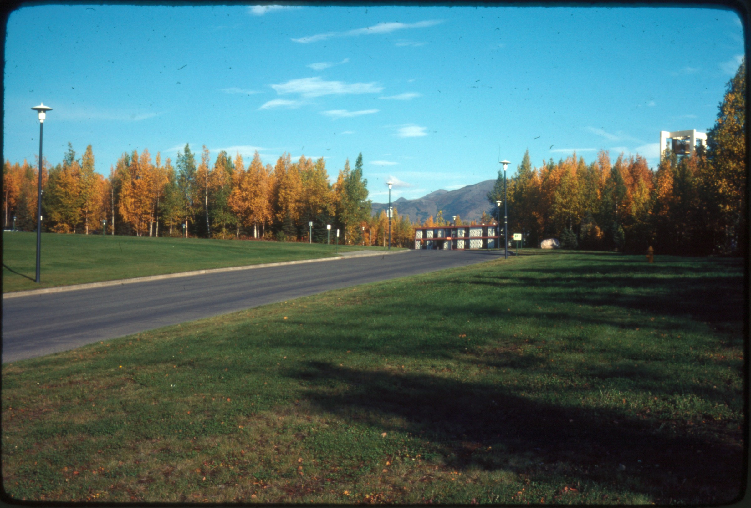
th
and 15
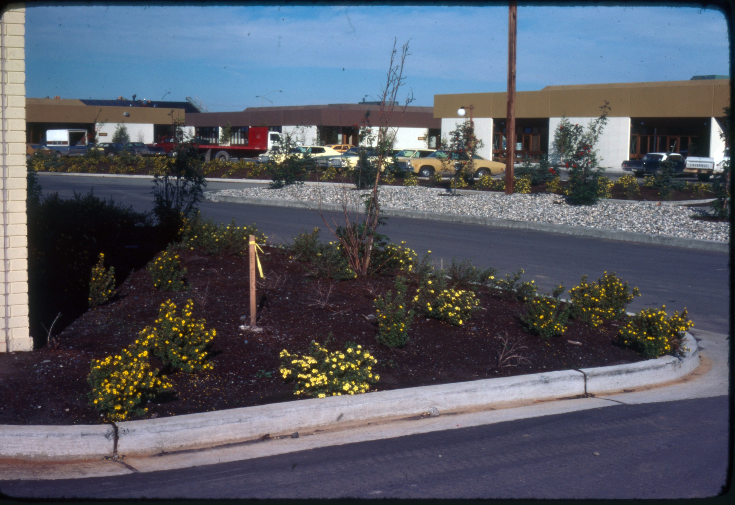
th
Streets, possibly Pat James residence] |
| 431 — | [automobiles parked outside house; in 2014, location identified as Lake
Spenard] |
| | 433 — | .437 – [No date, transportation. City (?) buses, including one of a London double-decker;
1 bulldozer on developing street, perhaps E. Tudor] |
| | 438 — | .446 – [Community planning, no date. City (?) planners working inside over maps and
overlays. Titles on some: ‘Proposed Land Use Classification’; ‘Proposed Residential Density’ on
an area that looks like Eklutna Lake/Eagle River area] |
| | 447 — | .473 – [No date, parks. Anchorage area parks, many identified by slide labels, including
‘Sand Lake’, ‘Russian Jack’, ‘Oceanview’, ‘Campbell-Taku’, ‘Kincaid’, ‘Coastal Trail’, ‘Seward
Bike Trail’, ‘Valley of the Moon’. Also, generics of Denali over Knik Arm; some plants]
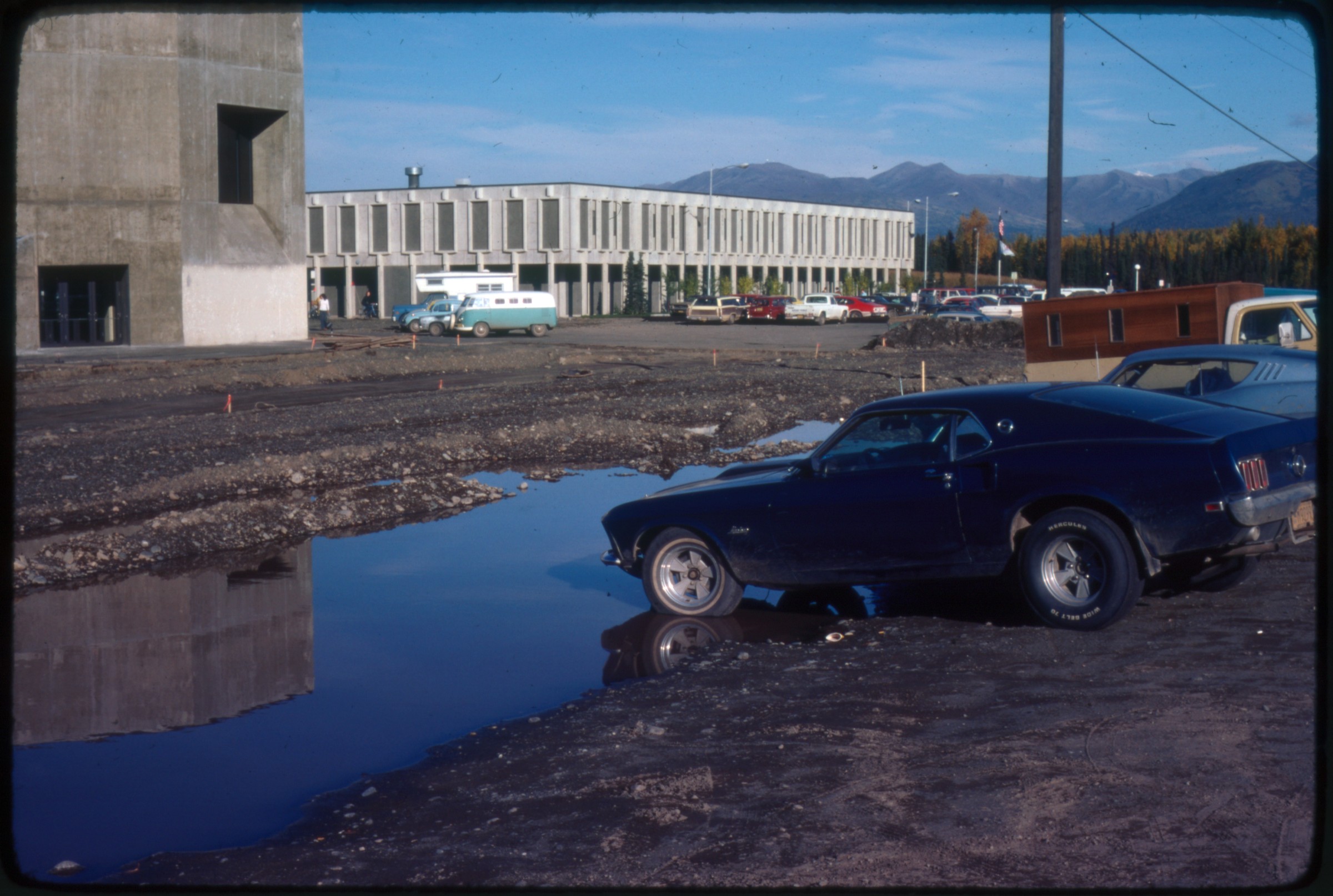
.460 – [tennis courts at park; in 2014, identified as Pop Carr Park on Kent Street] |
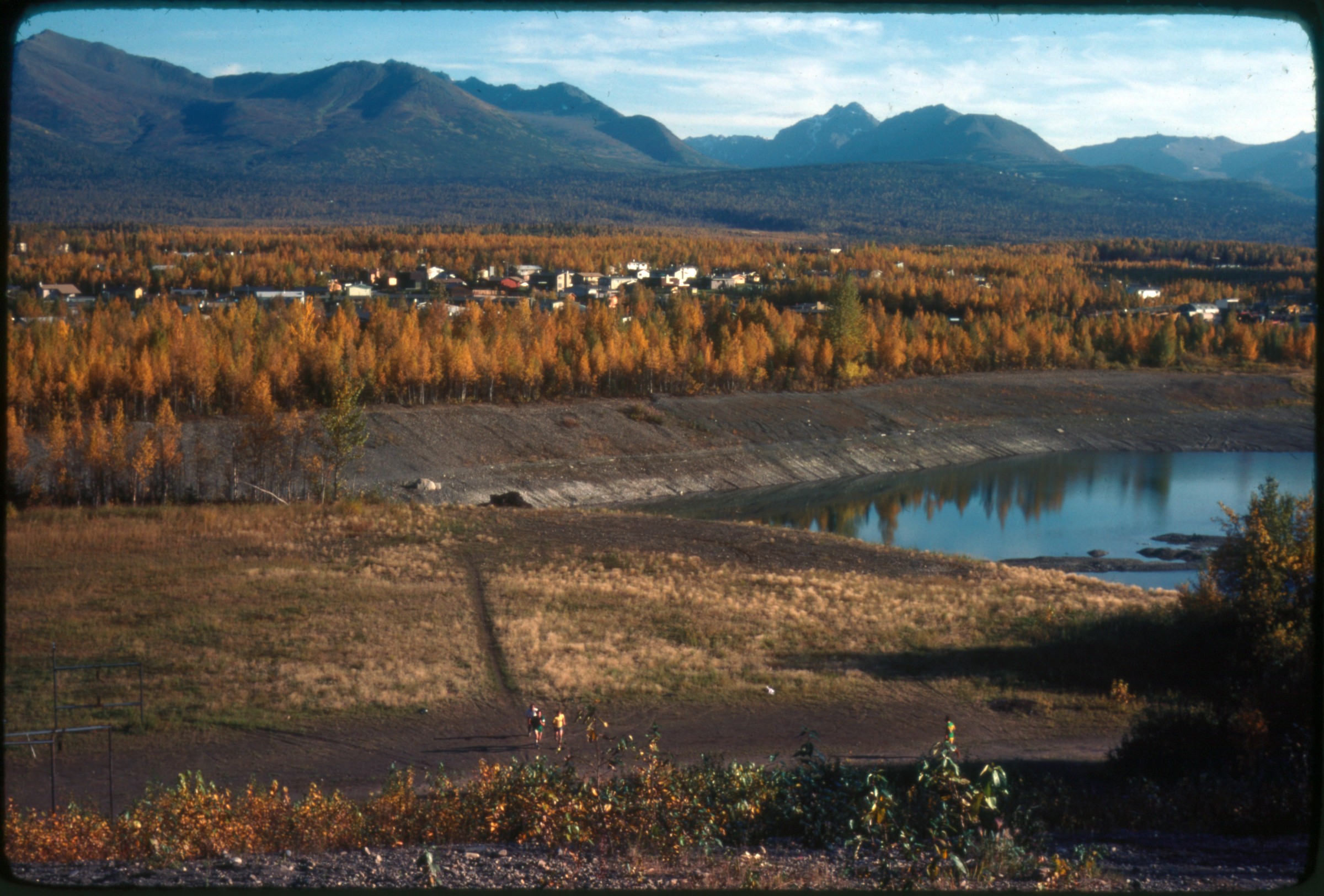
| 464 — | [people picnicking at park, Cook Inlet in distance; in 2014, identified as
Elderberry Park] |
| 466 — | [large body of water, building on far shore, Chugach Mountains in distance; in
2014, identified as Westchester Lagoon looking east] |
| 467 — | [sailboard and swimmer on lake, buildings and mountains in distance; in 2014,
identified as Lake Otis]
|
| | 474 — | .480 – [Winter sports. General winter scene shots of cross-country skiers, dogsleds, and
scenery. Clothes and skis dated. Some are marked ‘Duplicate’ from Division of Tourism] |
| | 481 — | .486 – [No date, Anchorage aerials. Bootlegger Cove, downtown Anchorage, Ship Creek] |
| | 487 — | .502 – [Anchorage skyline, no date. Downtown Anchorage, mid-summer, daytime. All
taken facing the East] |
| | 503 — | .513 – [Skyline, night, no date. Downtown city lights, winter, late afternoon/early
evening. All facing the West. 1 of fireworks by ‘Ken Graham’ (photographer?)] |
| | 514 — | .518 – [Sunsets, no date. Sunset shots, winter, 3 over city, 2 over inlet] |
| | 519 — | .526 – [No date, Anchorage area. General pictures of Anchorage environs, including
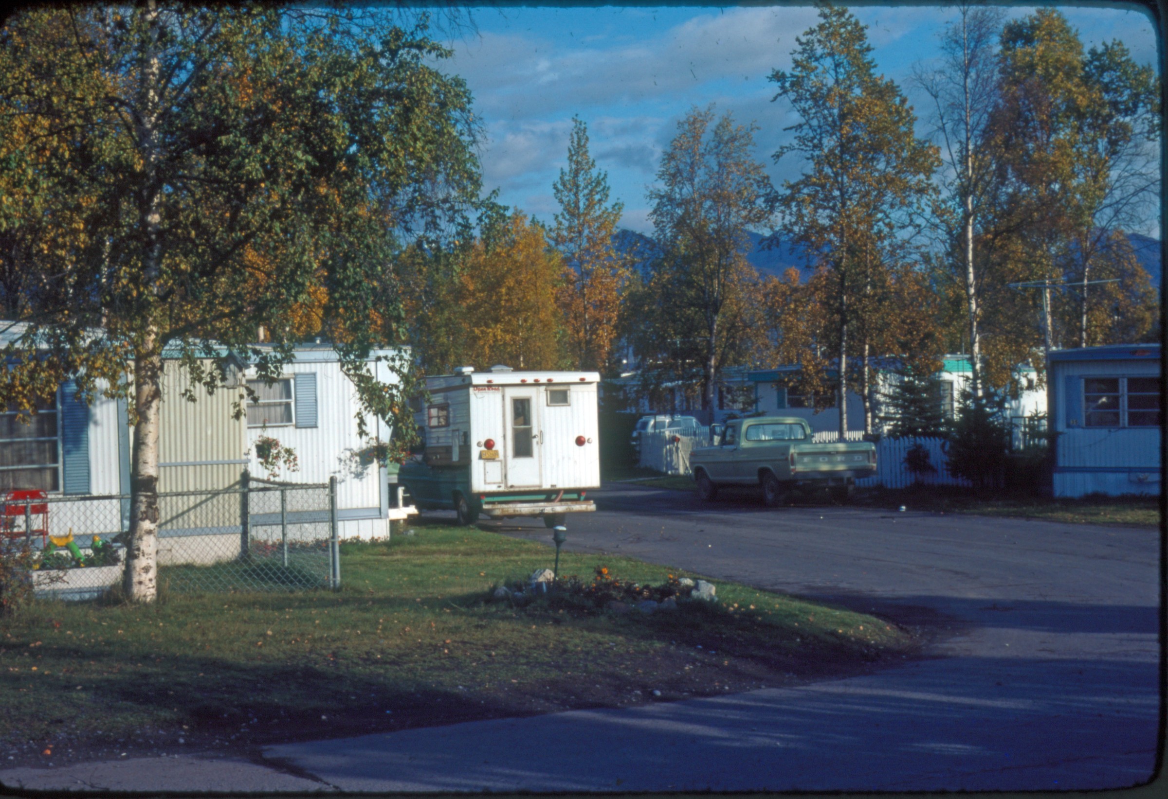
Eklutna cemetery; Mt. Alyeska entrance sign, high fields of lupine; Mt. Susitna; hot air
balloons] |
| | 527 — | .534 – [1976 Bicentennial celebration. Public outdoor ceremony with military uniforms,
flags, on some parade ground/field; ‘Anchorage 76’ logo. ‘July 76’ marked on most slides] |
| | 535 — | .544 – [HSS Montreal July 3, 1976. On board ship, with public tours. Docking location not
identified. Slides stamped ‘July 76’] |
| | 545 — | .554 – [Museum sculpture unveiling Sept 1979. Unveiling of ‘Homage to the Salmon’ by
artist William Kimura in on September 9, 1979 [see Sept. 1979 Museum newsletter]; Mayor
George Sullivan dedicating with other dignitaries, in front of old museum. Other slides show
statue and a background banner near entrance to museum reads ‘Vasarely Sept 5 through
October 8’; helps date these pictures to these dates in 1981 when exhibit was happening (see
museum newsletter Sept. 1981). |
| | 555 — | .584 – [Chitose tour Sept. 1979. Three events: (1) a ceremony at some Japanese
memorial/tomb; 100 or so mostly Japanese participants; (2) Small Japanese garden outside
unidentified downtown modern Anchorage building, with sign saying garden presented to
Anchorage by Japan Airlines; (3) Port of Wakkanai reception, with Tony Knowles (Mayor 1981-
1987), Japanese and other dignitaries, and gift exchange, probably in Wakkanai, Japan.
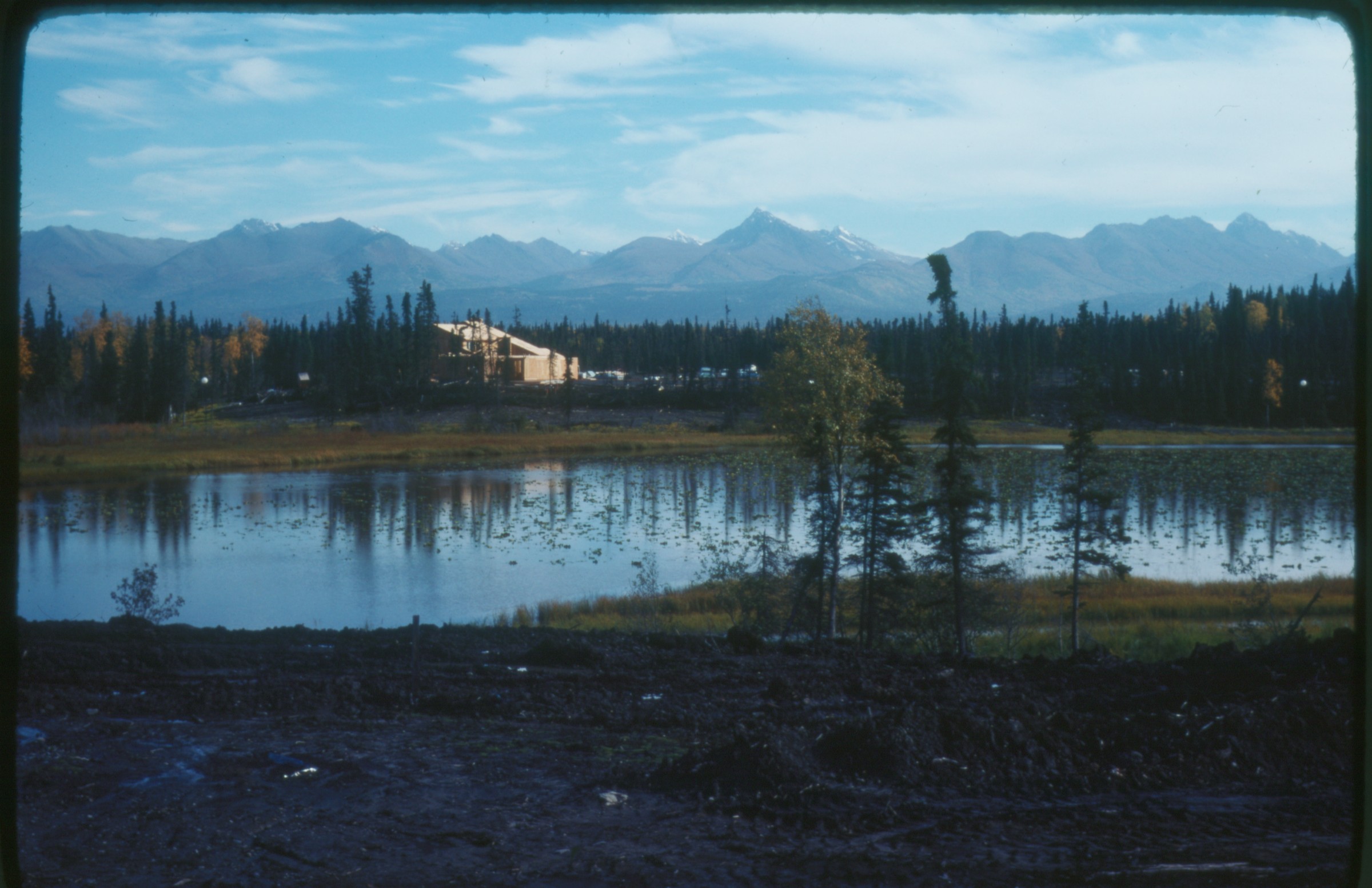
Chitose, Japan sister city of Anchorage] |
| | 585 — | .671 – [The Mayor dedications, parties, and visitors. Various, sundry events, 2 with Mayor
George Sullivan (with Head Start, and portrait picture); rest with Mayor Tony Knowles, and
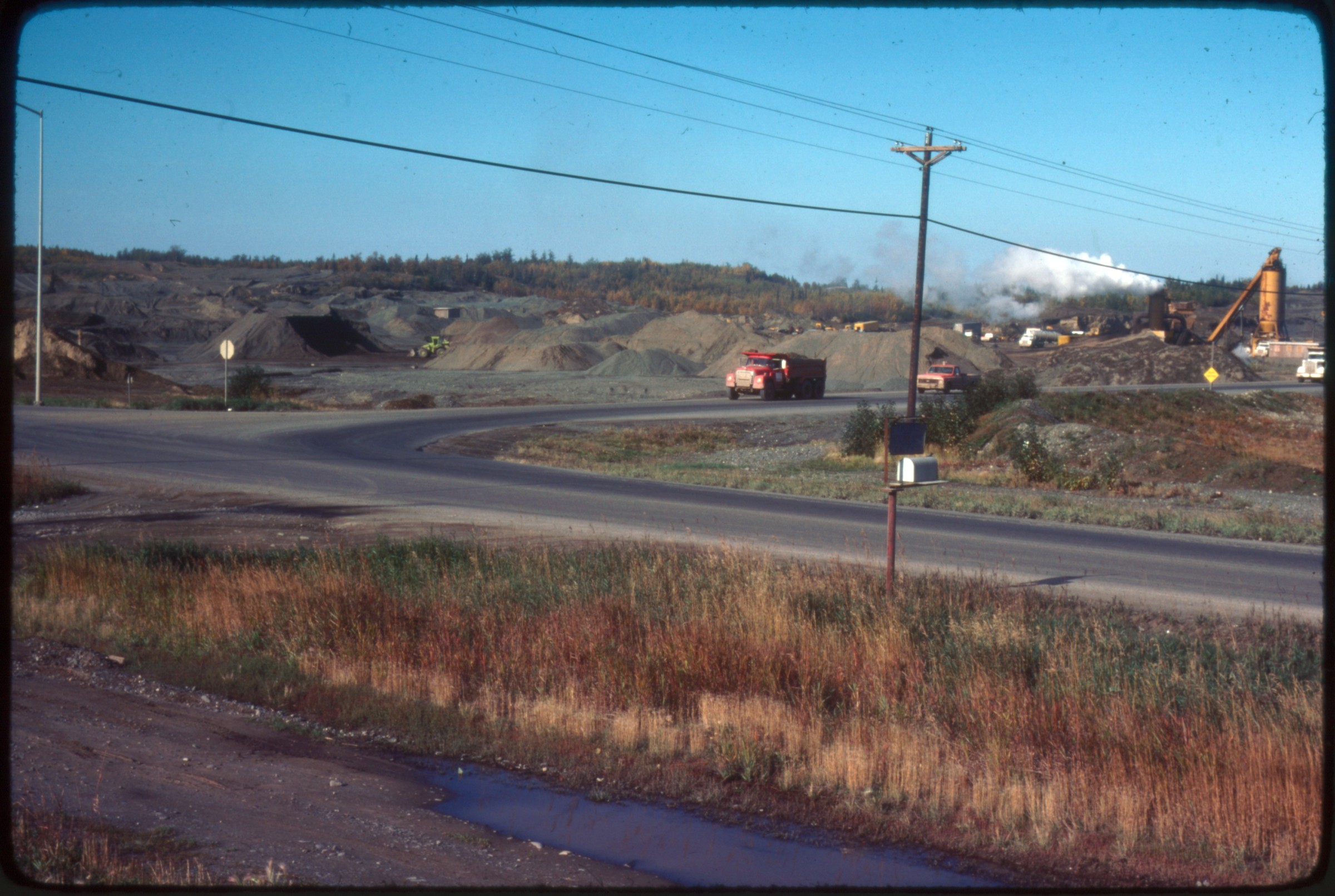
official portraits. Mostly ‘81-Aug ‘83 (date stamp on one slide 8/8/83), including: ‘We Are High
on Government Hill’; planting trees; breaking ground for new buildings; Alaska Railroad Week;
Tie a Yellow Ribbon remembering Iran hostages; large C5 military transport plane named
‘Municipality of Anchorage’ at Elmendorf. Continued in next box] |
| 601 — | [Mayor Tony Knowles at right, speaking with uniformed police officers and
others at indoor event; in 2014, policeman in center tentatively identified as Dave
Parker] |
| 604 — | [Mayor Tony Knowles, left, speaking with African American family at indoor
event; in 2014, people tentatively identified as Jim Posey and wife]
B1/B4 |
| | 618 — | .671 – [continued from last box] |
| 672 — | .703 – [Clean-up. Spring time clean-up activities throughout Anchorage with city
employees and volunteers. Three file groups: 1) May 75p5: Mostly kids helping to clean; a
land-fill operation with a small airport in background (Merrill?); 2) Plastic slides, ‘Bill Mack’,
undated. All of single individuals with trash, mostly children. No date; 3) 4/19/83. Stamped
dated plastic mount slides. All of municipal land fill and Anchorage recycling center
operations, few people; other pictures of early efforts at recycling, including copper, and
aluminum can recycling center at Safeway] |
| 673 — | [three children standing on sidewalk holding large bags of trash from spring
clean-up; in 2014, location identified as City View subdivision, now called Airport
Heights, at 16
th
and Alder] |
| | 704 — | .735 – [CCC Downtown model mid-1960s. Slides labeled ‘1964 CBD’ from ‘Crittenden’
study; All of downtown, blueprints, schematics, and a foam city model. Slide development
date of Jan 80p16 stamp, so perhaps foam model was being moved or destroyed?] |
| | 736 — | .751 – [1980 First concept performing/visual arts center. All stamped ‘Project 80s
Municipality of Anchorage’. Initial design schematics] |
| | 752 — | .765 – [Museum Expansion 1980. Schematic layouts. (Shows ‘Homage to the Salmon’
sculpture now installed in lobby, from original 1979 outside installation)] |
| | 766 — | .778 – [Performing Arts Center. Presentation of model by planning team, probably prior
to city approval. Not sure if design came out that way. May have been before design came to a
halt and a new design team named (see ‘Project 80s Technical Status Review’, 2/82 HT168 .C7
N3)] |
| | 779 — | .787 – [Civic Convention Center. Floor plans, schematics, design drawings. |
| | 788 — | .819 – [Sports Arena. Concept models, blueprints, schematics. Also, 6 of ground-breaking
ceremonies with gold shovels and officials (Mayor Sullivan?). Date on slides May 2, 1981.
Good pictures. One picture of awards to be handed out including one to Jay Hammond from
Mayor Sullivan] |
| | 820 — | .823 – [Historic town. Schematics, plans. ‘Railroad hill, a commercial relocation of historic
homes’]
B1/5 |
| | 824 — | .857 – [Plans, maps, drawings. Misc. plans, maps, including: downtown multi-purpose
center (off 2nd Street to the south near L; with a ‘heritage center’ concept); Ship Creek
overlook; Nordic Recreation and Sports Park; Snowmachine Track; Potter-McHugh Park
Recreation Plan’ 1970, with a tramway to large overlook; Bikeway and skiing plan maps;
funding charts; etc.] |
| | 858 — | .870 – [Non Alaskan places. Jan 80p16. 5 slides of Lake Placid Olympics arena and
schematics of developments; 8 of developments in Baltimore, Sweden, Italy of commercial
city venues. Since taken prior to 1979 and Project 80s, perhaps used as examples for Project
80s designs and construction bids] |
| | 871 — | .877 – [Construction 1981. Nov 81p6. Probably of sports arena and early construction; of
Mayor Sullivan with white hard hat reading ‘Mayor Sullivan’ along with Tony Knowles with
hardhat reading ‘Mayor-Elect’. Construction already started, so not a groundbreaking
ceremony] |
| | 878 — | .912 – [Commercial slides. Widely dated example of commercial slides by Anchorage
photo shops of the time, including:
o Stewarts Photo Shop, probably from later 1970s
o Mac’s Photo Service. All duplicates of originals with different development
dates (1 labeled ‘From Mac’s Photo Shop before quake’); however, all 5 photos
are probably before quake from dates of cars and construction. Aerials
stamped October 10, 1975, one with Oct. 15, 1973
o Arctic Circle Enterprises, of ‘Alyeska Village Set No. 33’, by Nancy Simmerman.
Commercial ‘Native Alaska Set No 2’. Washed out, typical early Alaska Native
tourist photos.
o Third Eye Photography, Girdwood, of Alyeska.
o Kenneth G. Kard – Focus Photo. Misc Anchorage shots
o George Herben Photography. Aerials looking south from refining and Ship Creek
dock area.
o Alyeska Pipeline – PS 5049-3. Above ground pipeline (unknown location), no
photographer credit] |
| 896 — | [couple standing outdoors, man wearing headdress and gut parka, woman
with chin tattooing wearing gut parka with fur trim; in 2014, identified as Charles
Slwooko (Elqwaaghqu) and Amy Angemaluk or Angemelluk, Gambell, circa 1960. |
| 897 — | [three women wearing parkas posed outdoors, two of them carrying
children; in 2014, identified as Mary Kanayurak Coates (left) and Lily Arey
Kanayurak (center) of Barrow] |
| 898 — | [portrait of woman in fur parka; in 2014, identified as Maggie Lampe Hopson
of Barrow] |
| 900 — | [portrait of Alaska Native woman carrying child; in 2014, identified as Lily
Arey Kanayurak of Barrow] |
| 906 — | [aerial view of underground tanks being installed along body of water; in
2014, identified as sewage treatment on Point Woronzof] |
| | 913 — | .1022 – [Project 80s blueprints, plans, title slides 10/83. Project 80s presentation slides.
From slide subject matter, most slides probably presentation in 1980s or 1981, prior to any
building being started, and prior to vote on Project 80 funding (some ‘Vote for. . .’ slides).
Continued in next box]
B1/B6 |
| | 981 — | .1022 – [continued from last box] |
| | 1023 — | .1187 – [Para-Vue 1964. Commercially produced slide presentation sponsored by
Anchorage chamber of Commerce, 1964. Many pictures appear pre-earthquake, but the entire
presentation is about post-earthquake (includes earthquake pictures). Perhaps prepared in
1964 to boost city after quake, to encourage business and people that all was well. (Note:
includes two pictures of Foam Built City Model, which also appears in Box 6 ‘CCC Downtown
Model’). Also, one interesting picture titled ‘Alaska Defense’ with the caption ‘General and
Friend’, with the ‘friend’ being Secretary McNamara. Slides faded and washed out. Some good
slides with a summary of worker wages (Engineer $900/month; Secretary $400/mo); and living
costs (Unfurnished 2br apartments $160-$220/month); etc. Continued in next box]
B2 |
| | 1104 — | .1187 – [continued from last box]
|
| | 1188 — | .1290 – [Para-Vue, no date, 6AF. Mostly of places outside of Anchorage, including other
cities (Fairbanks, Juneau, Ketchikan, Kodiak, Seldovia, Sitka); some collage layouts. Mostly an
Alaska overview with noticeable lack of Native representation. Not in original organization for
a presentation, so perhaps bits and pieces of other presentations, or ones not used. From
contents, pictures probably from between 1971-1973. Continued in next box]
B3 |
| | 1246 — | .1290 – [continued from last box]
B4
Transparencies |
| | 1291 — | .1292 – [good early 1970s aerials of downtown Anchorage] |
| | 1293 — | [early Sydney Lawrence Auditorium]
Prints |
| | 1294 — | .1335 – [Lake Hood; Flag day or similar celebrations with color guard, on park strip(?);
children in sack races, beach play at some unidentified lake; Delaney Park and Rose Garden;
All American City sign, flagpole park; other city flower gardens]
Guide updated: October 9, 2015 |