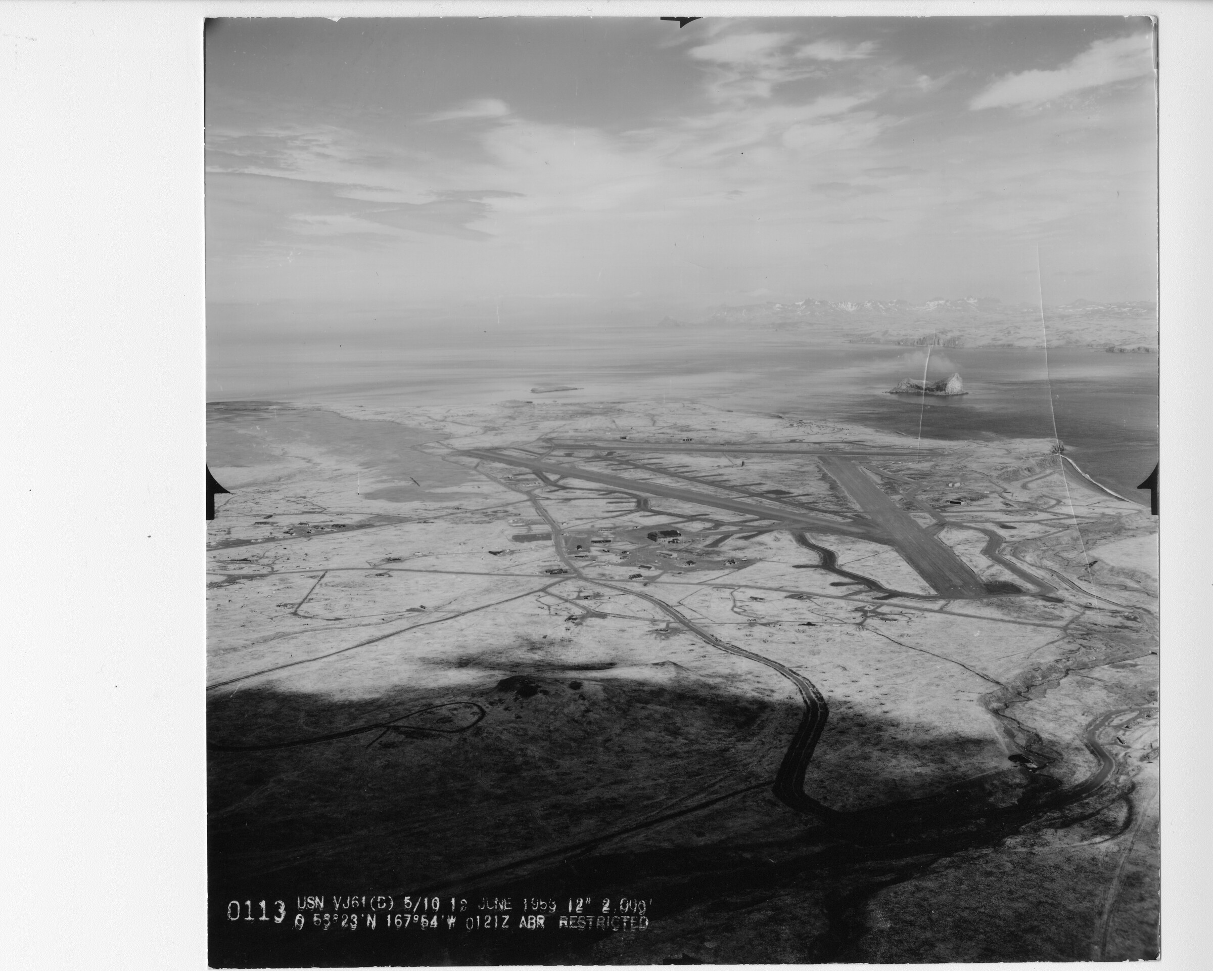
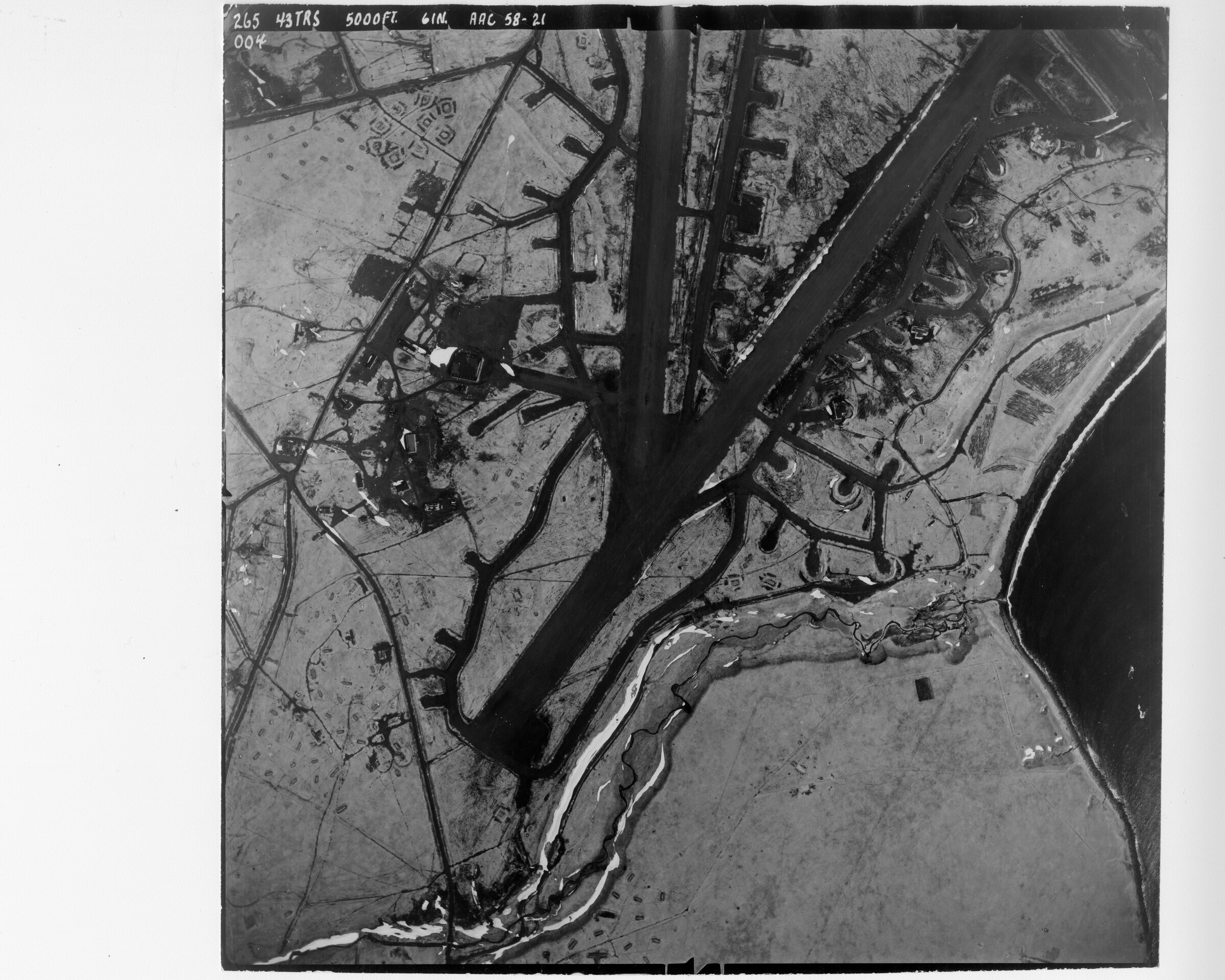
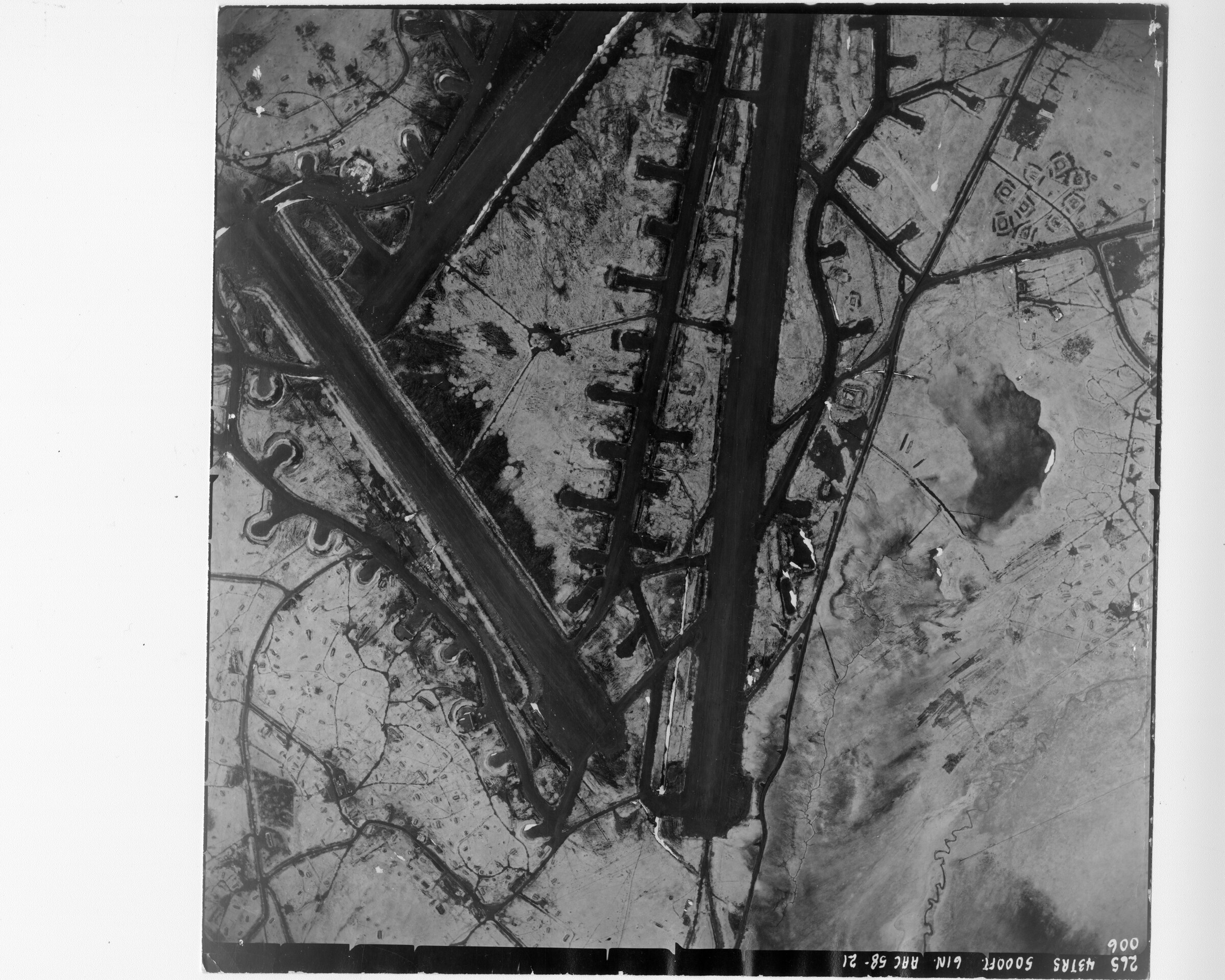
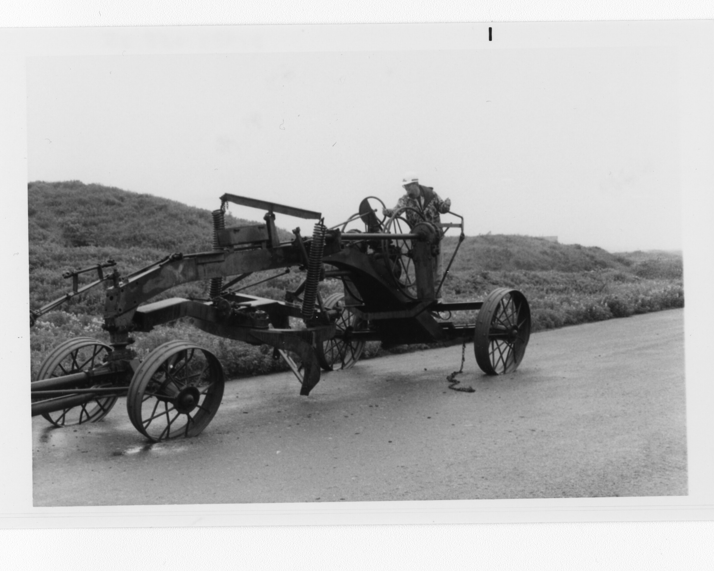
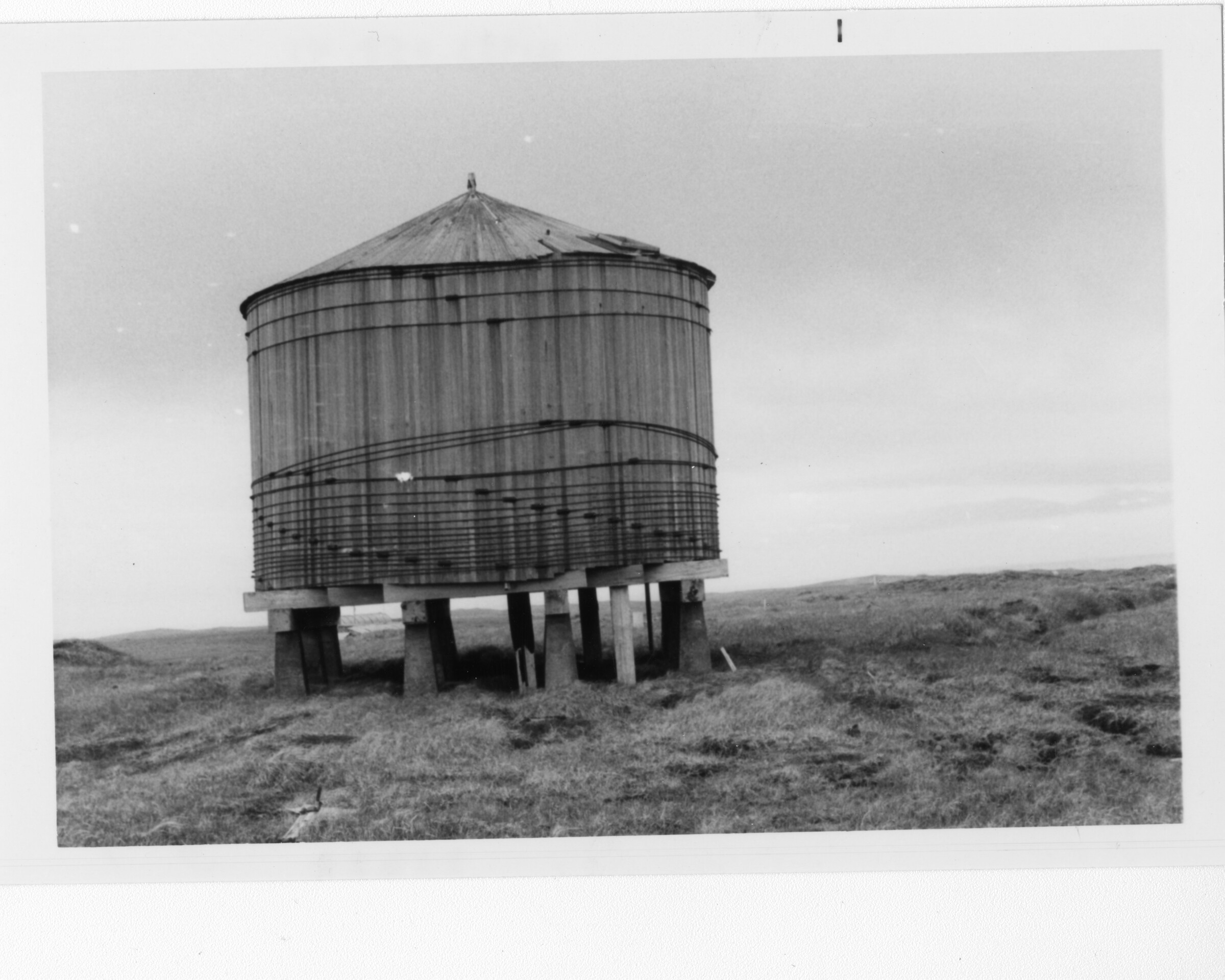
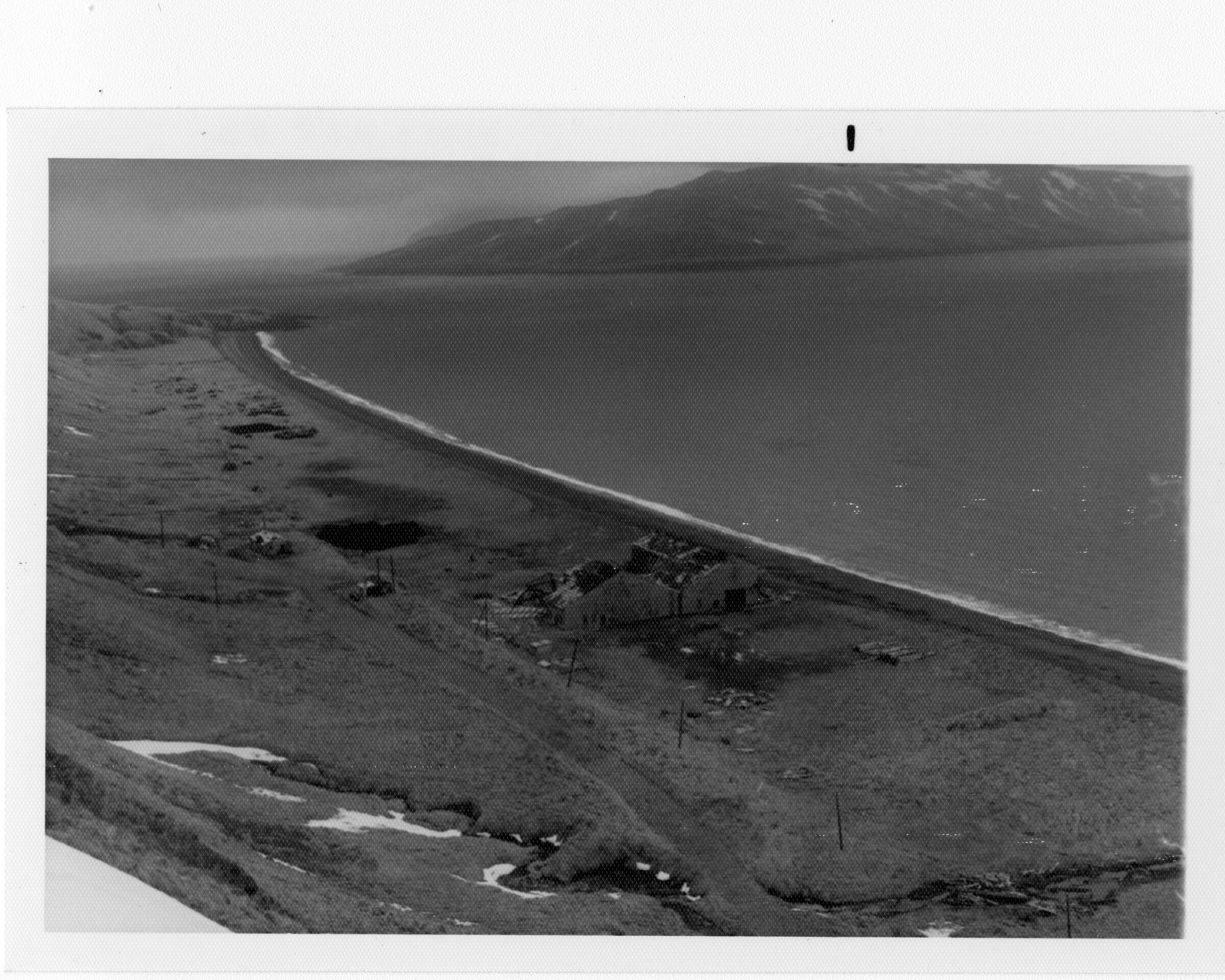
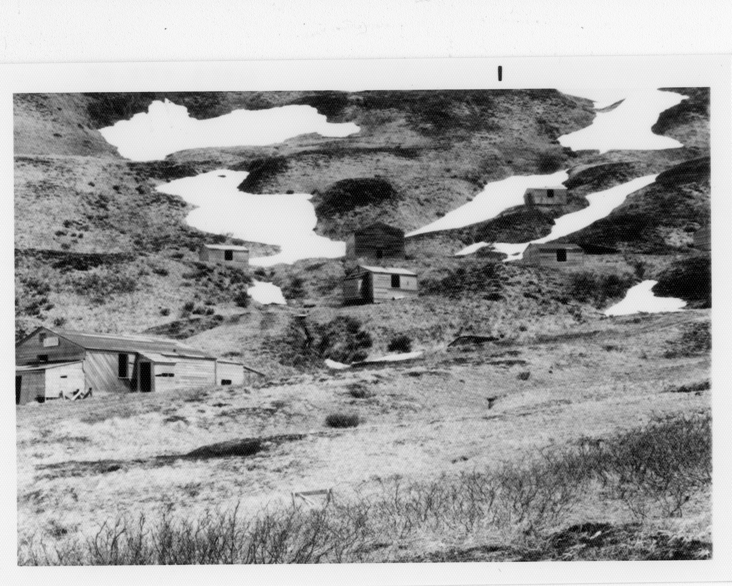
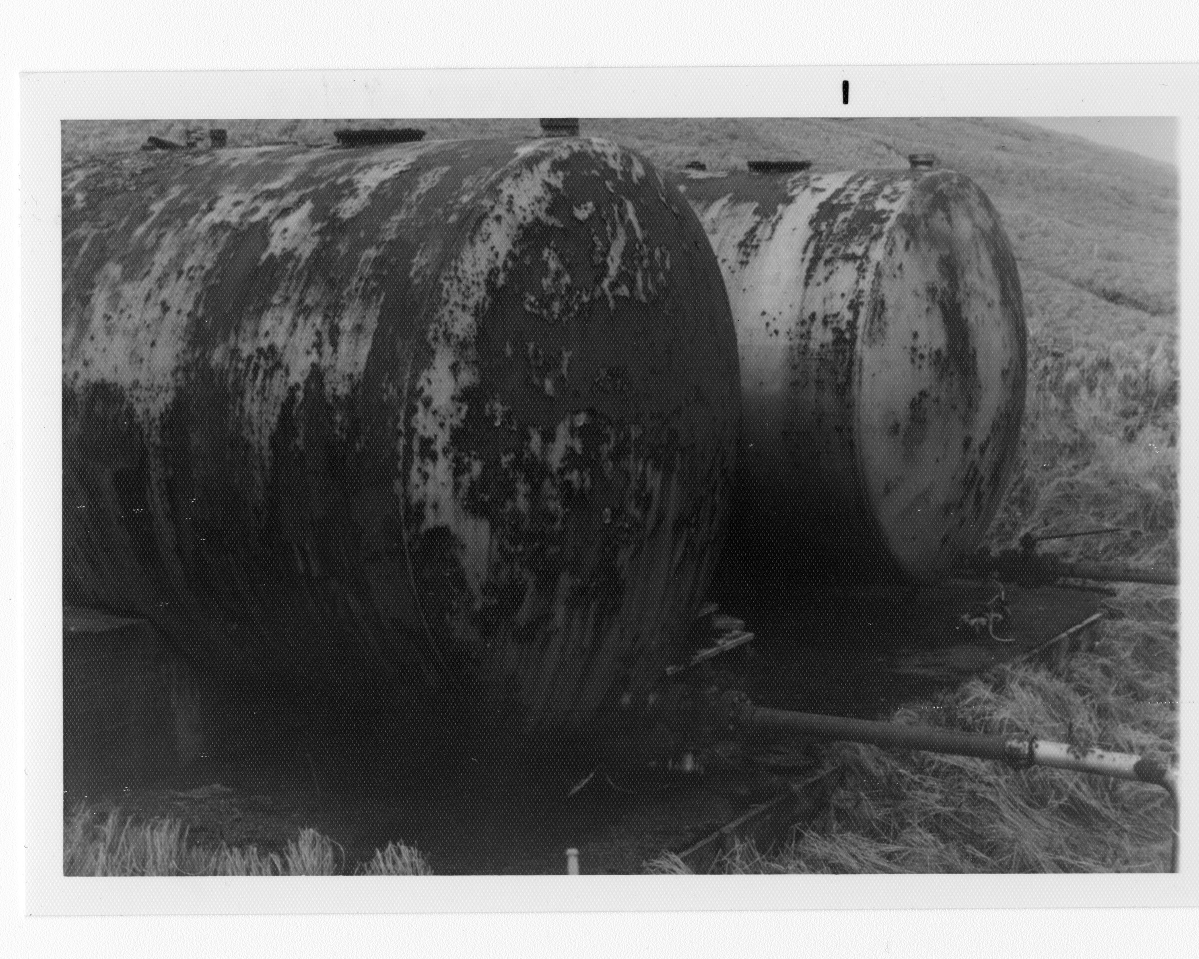
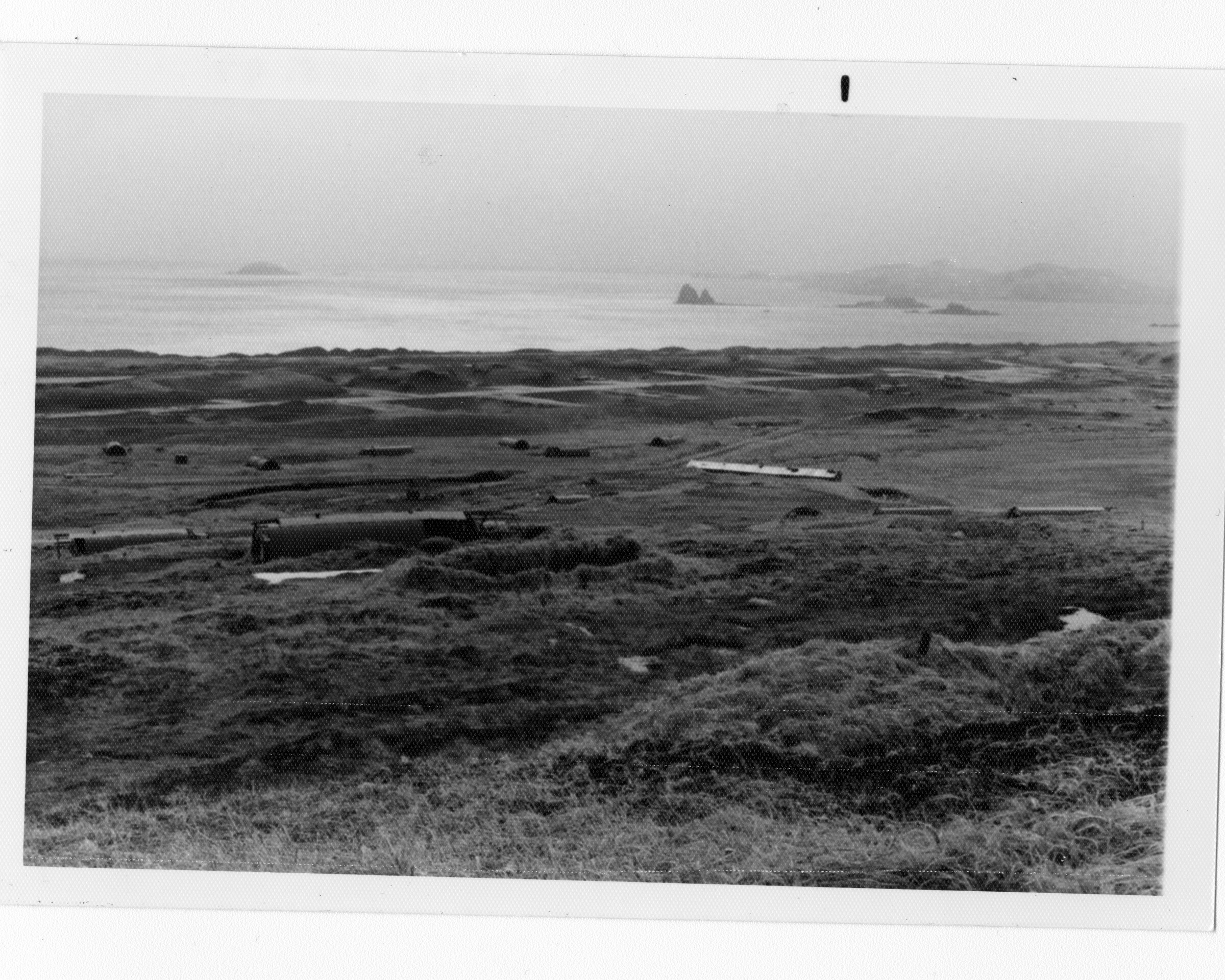
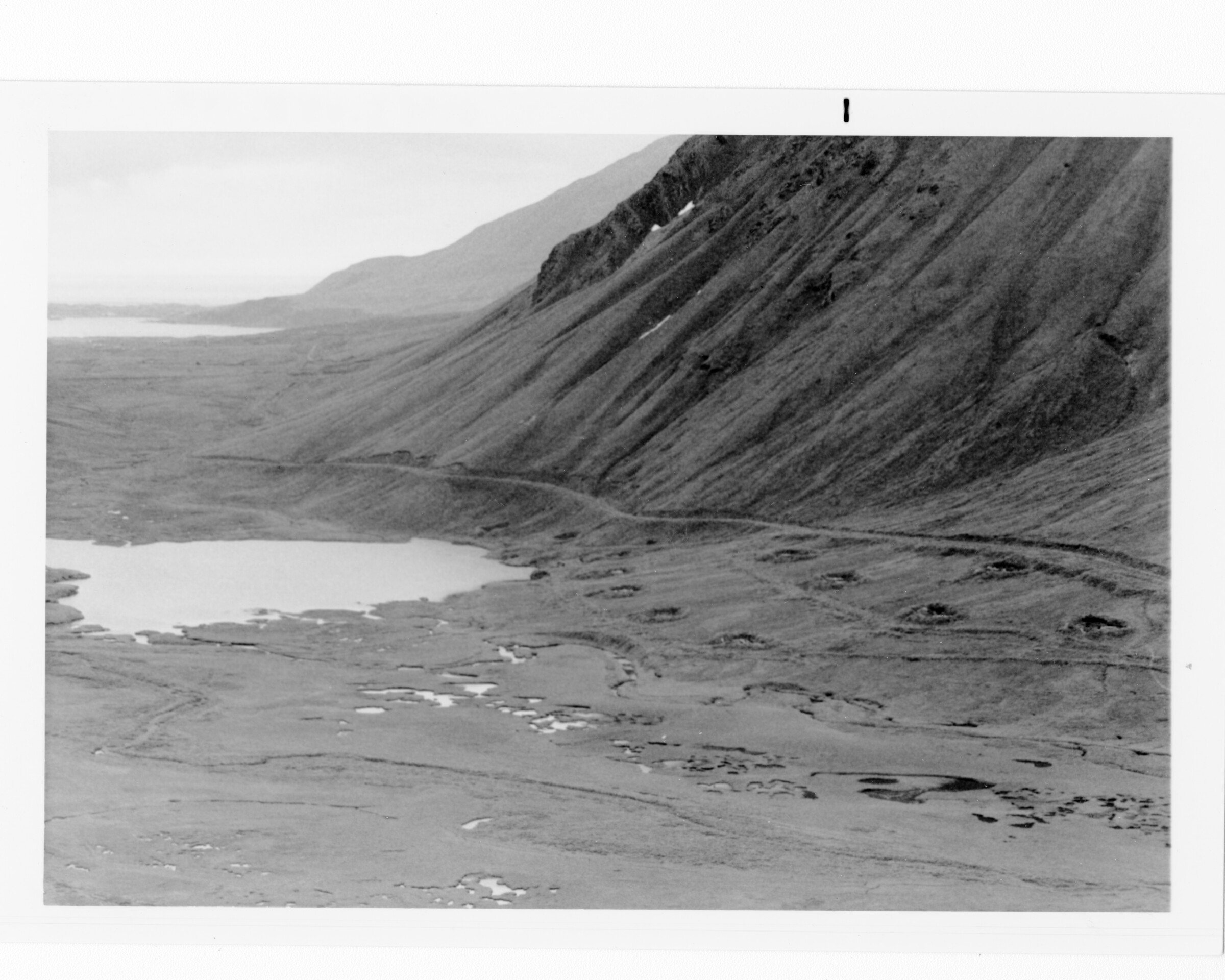
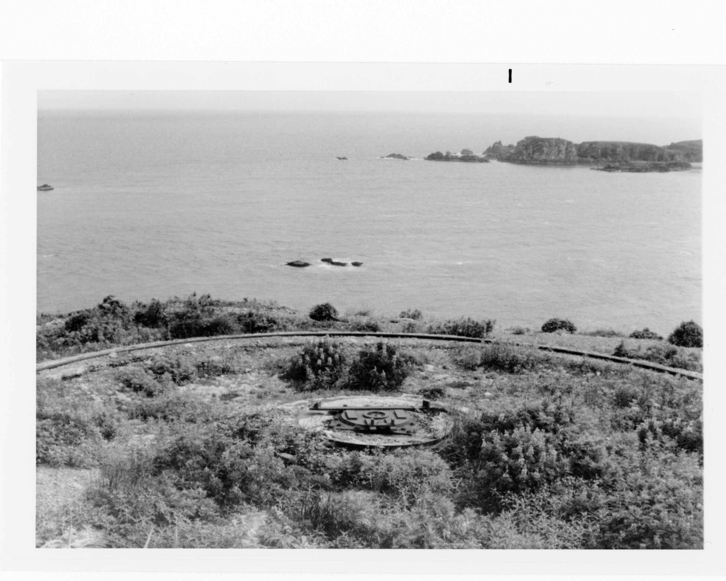
REFERENCE CODE: AkAMH

REPOSITORY NAME:
Anchorage Museum at Rasmuson Center
Bob and Evangeline Atwood Alaska Resource Center
625 C Street
Anchorage, AK 99501
Phone: 907-929-9235
Fax: 907-929-9233
Email: resourcecenter@anchoragemuseum.org

Guide prepared by: Sara Piasecki, Photo Archivist

TITLE: Dowell Aleutian Islands Clean-up Collection

COLLECTION NUMBER: B1983.058

OVERVIEW OF THE COLLECTION

Dates: 1943-1984

Extent: 10 linear feet

Language and Scripts: The collection is in English.

Name of creator(s): Thomas Dowell, U.S. Army Corps of Engineers

Administrative/Biographical History:
Thomas Perry Laning Dowell, Jr. received his master’s (1972) and doctorate (1973) degrees
from the University of Illinois. He was hired in 1976 to do a debris removal study of World War
II-era military sites in the Aleutian Islands for the U.S. Army Corps of Engineers. The results of
Dowell’s study, along with several of the photographs included in this collection, were
published in Debris removal and cleanup study, Aleutian Islands and Lower Alaska Peninsula,
Alaska (Anchorage, Alaska: U.S. Army Engineer District, Alaska, Corps of Engineers, 1977).

Scope and Content Description:
The collection includes research files, reports, financial data, 125 sheets of maps, and 364
black-and-white photographic prints created or collected by Thomas Dowell during his survey
of World War II-era military debris remaining on the Aleutian Islands in the 1970s.

Arrangement: Arranged in three series by format and location. 1. Manuscript materials. 2.
Photographs. 3. Maps.

CONDITIONS GOVERNING ACCESS AND USE


Restrictions on Access: The collection is open for research use.

Physical Access: Original items in good condition.

Technical Access: No special equipment is needed to access the materials.

Conditions Governing Reproduction and Use:
The Anchorage Museum is the owner of the materials and makes available reproductions for
research, publication, and other uses. Written permission must be obtained from the
Anchorage Museum before any reproduction use. The Anchorage Museum does not
necessarily hold copyright to all of the materials in the collections. In some cases, permission
for use may require seeking additional authorization from the copyright owners.

Preferred Citation:
Dowell Aleutian Islands Clean-up Collection, Anchorage Museum, B1983.058

ADMINISTRATIVE INFORMATION

Acquisition and Appraisal Information
Donated by Thomas Dowell, PhD, in May 1983.

Processing Notes
Oversize maps removed from manuscript material folders and moved to flat files. Three
photographs located in folder 16 were left in place.

Separated Materials
Remnants of Japanese inscribed boards transferred to Collections in 1983.

RELATED MATERIALS
1983.065
D810 .D6 U55 1976 Dowell, Thomas. 1977. Debris removal and cleanup study, Aleutian Islands
and Lower Alaska Peninsula, Alaska. Anchorage, Alaska: U.S. Army Engineer District, Alaska,
Corps of Engineers.

SUBJECTS
Hazardous waste site remediation--Alaska--Aleutian Islands.
Hazardous waste site remediation--Alaska--Alaska Peninsula.
Aleutian Islands (Alaska)--Environmental conditions.
Alaska Peninsula (Alaska)--Environmental conditions.
Construction and demolition debris--Alaska--Aleutian Islands.
Construction and demolition debris--Alaska--Alaska Peninsula.
Military base closures--Environmental aspects--Alaska--Aleutian Islands.
Military base closures--Environmental aspects--Alaska--Alaska Peninsula.

World War, 1939-1945--Environmental aspects--Alaska--Aleutian Islands.
World War, 1939-1945--Environmental aspects--Alaska--Alaska Peninsula.
Aleutian Islands (Alaska)
Andreanof Islands (Alaska)
Rat Islands (Alaska)
Attu Island (Alaska)
Adak Island (Alaska)
Kiska Island (Alaska)
Umnak Island (Alaska)
Unalaska Island (Alaska)
Amchitka Island (Alaska)
Atka Island (Alaska)
Shemya Island (Alaska)
Cold Bay (Alaska)
Dutch Harbor (Alaska)
Port Heiden (Alaska)
Yakutat (Alaska)

Detailed Description of the Collection

Series 1: Manuscript materials
B1
F1 – Recommendations
F2 – Disposal
F3 – Published material on the project
F4 – Reference material
F5 – Contract & correspondence, DACA85-76-C-0034 USA
F6 – Cost figures
F7 – Adak
F8 – Atka
F9 – Amchitka
F10 – Cold Bay
F11 – Dutch Harbor/Unalaska
F12 – Great Sitkin
F13 – Kiska
F14 – Port Heiden

B2
F15 – Shemya
F16 – Fort Glenn/Umnak
1 — written on back: Cape AFB; marked on front: 0113 USN VJ61(D) 5/10 12 June 1953
2 — marked on front: 265 43TRS 5000 ft. 6 in. AAC 58-21 004
3 — marked on front: 265 43TRS 5000 ft. 6 in. AAC 58-21 006 F17 – Small sites F18 – Attu F19 – Tanaga/Kanaga Series 2: Photographs B3 Set 1
4 —.24 – [no location; debris, cleanup sites, structures, boats] Set 2
25 —.40 – [no location; debris, cleanup sites, vehicles, structures, equipment, water tower, pier] Set 3
41 —.51 – Umnak Set 4
52 —.59 – [no location; debris, cleanup sites, structures, pier, equipment] Set 5
60 —.63 – Ulatka Head/Unalaska Set 6
64 —.96 – Great Sitkin Set 7
97 —.139 – Atka Set 8
140 —.159 – [no location; debris, cleanup sites, structures, pier, church. Identified in 2016 as Attu by Richard Ragle] Set 9
160 —.199 – [no location; debris, cleanup sites, structures. Identified in 2016 as Attu by Richard Ragle] Set 10
200 —.364 – Unalaska [In 2016, Richard Ragle identified some images as Fort Glenn and Kiska, including .212-220 as possibly Kiska] Series 3: Maps Rolled maps B4 - Tactical map. Confidential. September 1948; Mar. 21, 1957. [Shows Unalaska Bay and land to the south and west] B5 - Sectional aeronautical chart. Western Aleutian Islands. Washington, D.C. : U.S. Dept. of Commerce, National Oceanic and Atmospheric Administration, National Ocean Service, April 26, 1973. 6 sheets glued together, some printed on both sides. Flat maps F1: Adak - U.S. Naval Station, Adak, Alaska. General development map, existing and planned pre-M Day. Dept. of the Navy, Bureau of Yards and Docks. Feb. 21, 1962. Sheets 1A, 2-23, 25-30, 32- 52. - Davis Air Force Base, Adak, tab A, vicinity map. Dept. of the Army, Corps of Engineers. May 14, 1948. File No. N-170F-53 0. 1 sheet F2: Aleutians, Western and Alaska, General - Aleutian Islands, Cold Bay to Attu. Engineer Section, Alaskan Dept., ALS. July 1944. 10 sheets. [Unalaska, Umnak, Atka, Adak, Tanaga, Kiska, Shemya, Attu] - Index to topographical maps of Alaska. U.S. Dept. of Interior Geological Survey. March 1972. 1 sheet. F3: Attu and Kiska - Attu Island, Alaska. Alexai Point Airfield and garrison site plot plan. U.S. Engineer Office, Anchorage, Alaska. War Department, Corps of Engineers, U.S. Army. June 22, 1943. File No. N- 178F-5. 3 sheets. - Attu, Alaska. Casco Airfield paving plan. Alaskan Dept. Engineer Office, Anchorage, Alaska. War Department, Corps of Engineers, U.S. Army. June 25, 1945. File No. N-178F-37. 2 sheets. - Attu, Alaska. Alaskan Dept. Engineer Office, Anchorage, Alaska. War Department, Corps of Engineers, U.S. Army. June 7, 1946. File No. N-178F-45. 1 sheet. - Kiska Island, Alaska. Airfield and garrison topography and as built construction. Alaskan Dept., Engineer Office, Anchorage, Alaska. War Department, Corps of Engineers, U.S. Army. Nov. 13, 1945. File No. N-179F-17. F4: Rat Islands - Rat Islands. Sheet 2024 II SW. Series Q801, edition 1-AMS. Army Map Service, Corps of Engineers, U.S. Army. Compiled in 1950. 1 sheet. - Rat Islands. Sheet 2123 IV NW. Series Q801, edition 1-AMS. Army Map Service, Corps of Engineers, U.S. Army. Compiled in 1950. 1 sheet. - Rat Islands. Sheet 2023 I NW. Series Q801, edition 1-AMS. Army Map Service, Corps of Engineers, U.S. Army. Compiled in 1950. 1 sheet. - Rat Islands. Sheet 2023 I NE. Series Q801, edition 1-AMS. Army Map Service, Corps of Engineers, U.S. Army. Compiled in 1950. 1 sheet. F5: Umnak - Umnak Airport, Umnak Island. Property plan. Division of Aviation, Dept. of Public Works, State of Alaska. Feb. 23, 1966. 1 sheet. - North Shore Airport, Umnak Island. Property plan. Division of Aviation, Dept. of Public Works, State of Alaska. Feb. 25, 1966. 1 sheet. - Unalaska A-6. Sheet 4027 IV. Series Q701, edition 1-AMS. Army Map Service, Corps of Engineers, U.S. Army. Sheet NN 3-7. Copied in 1953 [1951]. 1 sheet. F6: Unalaska - Unalaska. Series Q501, edition 1-AMS. Army Map Service, Corps of Engineers, U.S. Army. Compiled in 1950. 1 sheet. - Harbor defenses of Dutch Harbor, Alaska. As constructed drawing, master plan. Corps of Engineers, U.S. Army. Jan. 5, 1946. File No. F-60-259. 1 sheet. - Harbor defenses of Dutch Harbor, Alaska. As constructed drawing, plot plan, Hill 400, Amaknak Island. Corps of Engineers, U.S. Army. Jan. 5, 1946. File No. F-60-265. 1 sheet. - Harbor defenses of Dutch Harbor, Alaska. As constructed drawing, plot plan, Ulatka Head. Corps of Engineers, U.S. Army. Jan. 5, 1946. File No. F-60-261. 3 sheets. - Harbor defenses of Dutch Harbor, Alaska. As constructed drawing, plot plan, Amaknak Spit. Corps of Engineers, U.S. Army. Jan. 5, 1946. File No. F-60-271. 2 sheets. - Harbor defenses of Dutch Harbor, Alaska. As constructed drawing, communications and power layout and sewer and water layout, Ulatka Head. Corps of Engineers, U.S. Army. Jan. 5, 1946. Sheet 1. File No. F-60-262. - Unalaska Island, Alaska. Port terminal facilities, Fort Mears & vicinity. Alaskan Department, Engr. Office, Anchorage, Alaska. Jan. 9, 1944. 1 sheet. - Fort Mears, Alaska, Unalaska Valley Army Garrison. Project location & general layout. Corps of Engineers, U.S. Army. File No. N-54 F-11. Sheets 1-3, 5-21. [Other title: Unalaska Garrison, plot plan and garrison.] - Fort Mears, Alaska. General Layout & Boundary, Unalaska Area. Alaskan Department, Engineers Office, Anchorage, Alaska. March 23, 1946. 2 sheets F7: Yakutat - Environmental Restoration Defense Account debris cleanup and site restoration design, Yakutat, Alaska. U.S. Army Corps of Engineers. Printed June 20, 1984. Inv. No. DACA85. 10 sheets. Guide updated: July 14, 2016